Enable Location

We need your location to show you interesting places around you

Discover nearby places

Find interesting locations and hidden gems around you

Precise directions

Get accurate directions and distances to places

Your location is never shared with other users. It's only used when you tap the location button.

Pampas District

Log in to your account

Start exploring — it's free

Trusted by 62,843 travelers worldwide

Continue with Google
Continue with Apple
or

We will send you a code to connect

By continuing, you accept our Terms and Conditions and our Privacy Policy

Check your inbox

We've sent a pincode in your inbox. Please enter the code below.

Pampas District

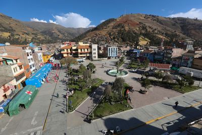
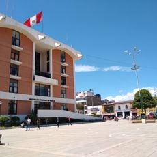
Pampas District, Administrative district in Tayacaja Province, Peru.

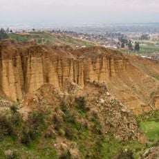
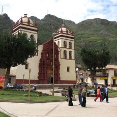
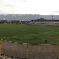
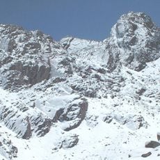
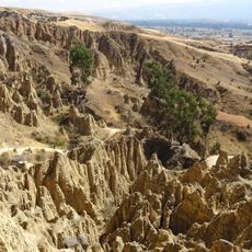
Pampas District is an administrative area in the Huancavelica region located at about 3,276 meters elevation. It includes 23 populated centers connected by local roads that wind through the high terrain.

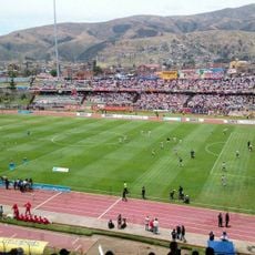
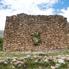
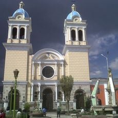
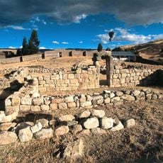
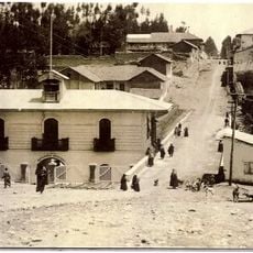
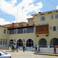
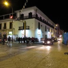
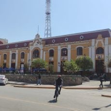
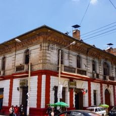
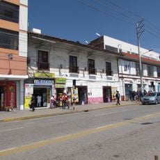
The district began as a small settlement and grew into the administrative capital of Tayacaja Province. This role as a provincial center shaped its development over time.

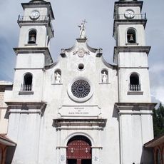
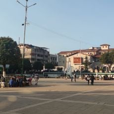
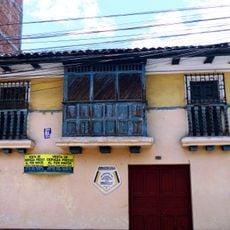
Quechua speakers live throughout the district and continue their traditional ways in everyday life. You will see these customs reflected in how people gather, work, and celebrate together.

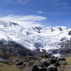
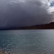
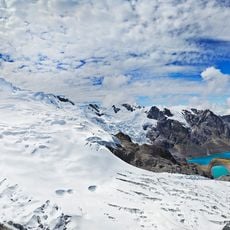
Visit during the dry season when roads are easier to travel and weather stays more stable. Prepare for the high altitude, as the area sits in a mountainous region that requires time to adjust.

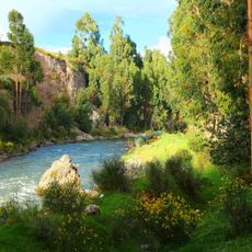
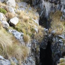
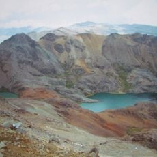
The Upamayo Valley where the provincial capital sits stands out for its flat ground surrounded by steep mountains. This valley creates a surprising pocket of level terrain in otherwise mountainous country.

The community of curious travelers

AroundUs brings together thousands of curated places, local tips, and hidden gems, enriched daily by 60,000 contributors worldwide.

Start exploring
Capital city
Pampas
Elevation above the sea
3,276 m
Shares border with
Daniel Hernández District, Quichuas District, Acoria, Ahuaycha District, Santiago de Tucuma District
GPS coordinates
-12.39000,-74.86667
Latest update
December 8, 2025 13:40
« Pampas District - Administrative district in Tayacaja Province, Peru » is provided by Around Us (aroundus.com). Images and texts are derived from Wikimedia project under a Creative Commons license. You are allowed to copy, distribute, and modify copies of this page, under the conditions set by the license, as long as this note is clearly visible.

Discover hidden gems everywhere you go!

From secret cafés to breathtaking viewpoints, skip the crowded tourist spots and find places that match your style. Our app makes it easy with voice search, smart filtering, route optimization, and insider tips from travelers worldwide. Download now for the complete mobile experience.

Around Us App Screenshot

A unique approach to discovering new places

Le Figaro

All the places worth exploring

France Info

A tailor-made excursion in just a few clicks

20 Minutes

Around Us
Travel Guide & Maps
Download

Send to your phone

QR Code
1

Open the camera app on your mobile.

2

Point at the QR code with your camera. A notification will appear.

3

Tap the notification to open the link.