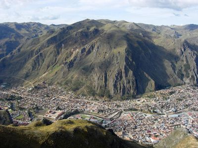
Huancavelica, Mining and cultural center in Huancavelica Province, Peru.
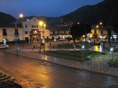
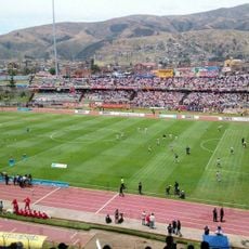
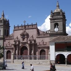
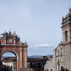
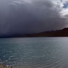
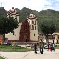
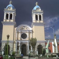
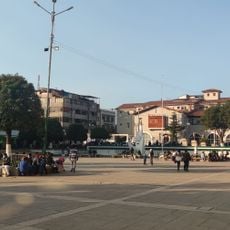
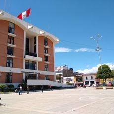
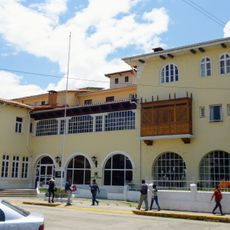
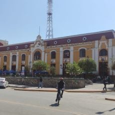
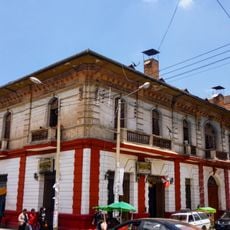
Huancavelica is a city in Huancavelica Province, Peru, sitting at 3,676 meters above sea level in the central Andes and framed by steep slopes and deep valleys. Streets follow the incline, low houses line narrow lanes, and several churches with stone facades rise above the main plaza.
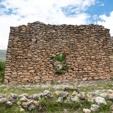
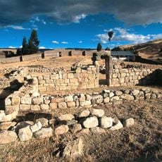
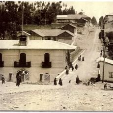
The settlement was founded in 1571 as Villa Rica de Oropesa to organize mercury extraction from the surrounding mountains and provide material for silver processing in the mines of Potosí. Extraction continued into the 19th century, shaping the region's development over three centuries.
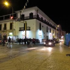
Quechua remains a daily language in the markets, where vendors arrange potatoes, meat and textiles in colorful stalls and call out to shoppers in the mornings. The churches built in the 16th and 17th centuries still gather families on Sundays, when people meet on the plazas after mass to talk and walk together.
Visitors arrive by bus along mountain roads from Lima or by a narrow-gauge train from Huancayo that runs through valleys and over passes. Altitude may feel tiring at first, so taking it easy during the first hours and drinking plenty of water helps.
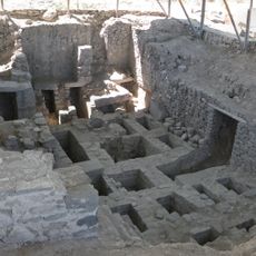
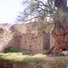
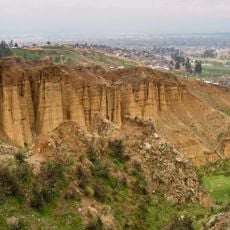
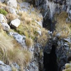
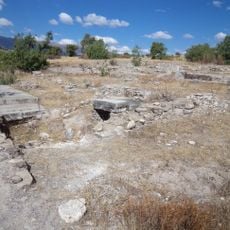
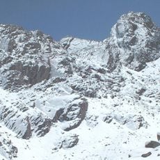
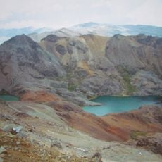
The Santa Bárbara mine complex ranks among the highest mercury extraction sites in South America and operated without interruption from the 16th to the 19th century. Tunnels reach deep into the rock, and remnants of the old shafts remain visible outside the city today.
The community of curious travelers
AroundUs brings together thousands of curated places, local tips, and hidden gems, enriched daily by 60,000 contributors worldwide.