
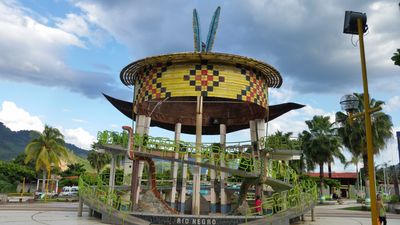
Río Negro District, district in Junín, Peru
Location: Satipo Province
Capital city: Río Negro
Elevation above the sea: 650 m
Shares border with: Pichanaqui District, Río Tambo District, Satipo District
GPS coordinates: -11.20907,-74.66364
Latest update: March 21, 2025 18:36
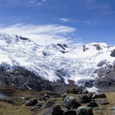
Huaytapallana
88.7 km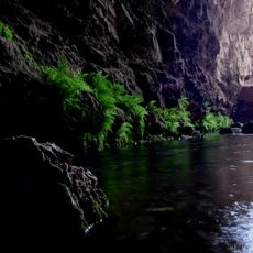
Huagapo
122.8 km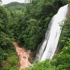
Velo de la Novia, Perené
62.8 km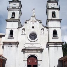
Colegio de Propaganda Fide de Santa Rosa de Ocopa
101 km
Pampa Hermosa National Sanctuary
91.3 km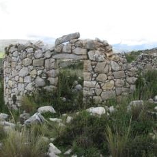
Tunanmarka
116.8 km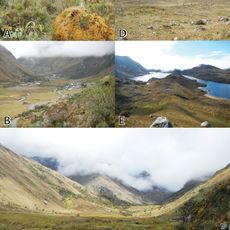
Pui Pui Protection Forest
44.9 km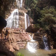
Catarata Bayoz
62.9 km
Yanesha Communal Reserve
112.5 km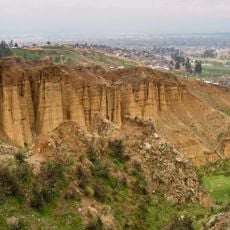
Torre Torre
110.3 km
San Matías–San Carlos Protection Forest
80.8 km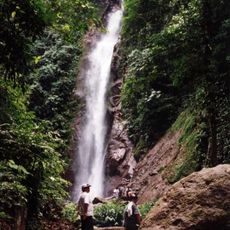
Catarata El Tirol
73.4 km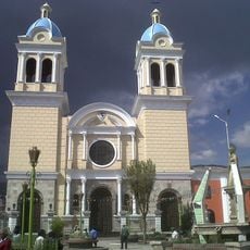
Iglesia María Inmaculada
112.6 km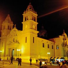
Saint Anne Church (Tarma)
114.3 km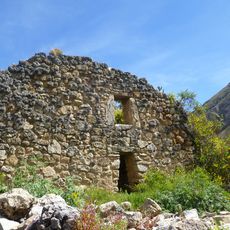
Tarmatambo
115.5 km
Oxapampa-Ashaninka-Yanesha
88.7 km
Iglesia de la Merced
112.6 km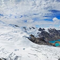
Huaytapallana Regional Conservation Area
87.4 km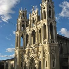
Capilla Cristo Pobre
110.7 km
Puente Centenario
112.5 km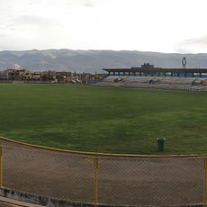
Estadio Mariscal Castilla
111.7 km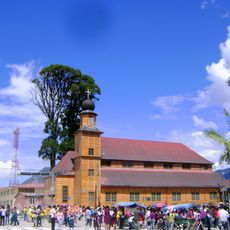
Iglesia Matriz Santa Rosa de Oxapampa
107.4 km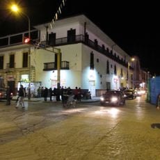
Hotel Tívoli
112.7 km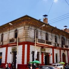
Casa Calixto
112.5 km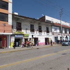
Casa del poeta Juan Parra del Riego
112.7 km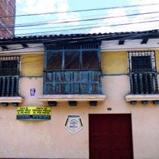
Casa del pintor Guillermo Guzmán Manzaneda
112.3 km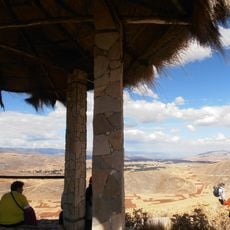
Tunanmarca
116.8 km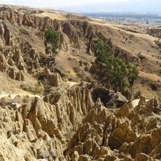
Wawi Wawi
110.1 kmVisited this place? Tap the stars to rate it and share your experience / photos with the community! Try now! You can cancel it anytime.
Discover hidden gems everywhere you go!
From secret cafés to breathtaking viewpoints, skip the crowded tourist spots and find places that match your style. Our app makes it easy with voice search, smart filtering, route optimization, and insider tips from travelers worldwide. Download now for the complete mobile experience.

A unique approach to discovering new places❞
— Le Figaro
All the places worth exploring❞
— France Info
A tailor-made excursion in just a few clicks❞
— 20 Minutes