Celendín Province, Administrative province in Cajamarca, Peru
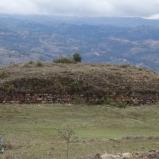
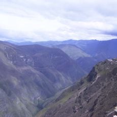
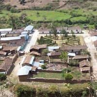
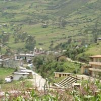
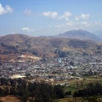
Celendín Province is an administrative division in the Cajamarca Department of northern Peru, spanning terrain across multiple elevation zones. The territory comprises twelve districts that form a patchwork of towns and rural communities spread across mountain valleys.
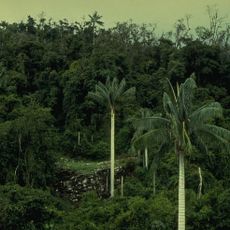
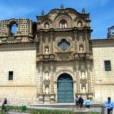
The province was established in 1862 and grew from a region with deep roots in agriculture and rural settlement. This formal creation organized an area that had long been inhabited by farming communities.
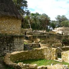
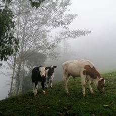
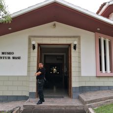
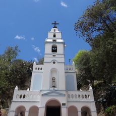
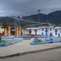
Local communities here maintain traditional textile production methods and celebrate seasonal festivals that reflect their Andean heritage. These practices shape how people live and work together in their daily routines.
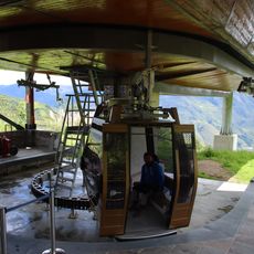
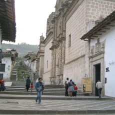
The province connects to neighboring regions through a road network, with the city of Celendín serving as the main hub for travel and services. Terrain here is mountainous, so travel between towns takes more time and planning than in lowland areas.
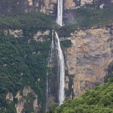
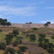
The varying elevation levels create distinct microclimates that allow different crops to grow across different areas. Visitors will notice how plant life and farming practices differ noticeably from one district to another depending on altitude.
The community of curious travelers
AroundUs brings together thousands of curated places, local tips, and hidden gems, enriched daily by 60,000 contributors worldwide.