
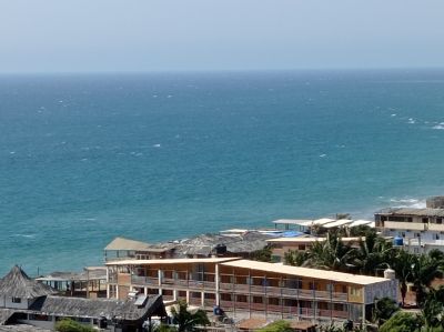
Máncora District, Coastal district in Talara Province, Peru.
Máncora District is a coastal area in Talara Province that extends along the Pacific Ocean with multiple settlements, beaches, and natural coves. The terrain is mostly flat and low-lying, sloping gently toward the shoreline.
This district was established in 1908 from a small fishing community. Over the decades, it grew into a significant coastal destination in northwestern Peru as infrastructure and tourism expanded into the region.
Fishing communities form the social core of this coastal district, with their daily work visible along the beaches and in the harbors. The rhythm of life here revolves around the sea and its rhythms.
The Pan-American Highway runs through the area and connects visitors with accommodations, shops, and various beach access points. The region can be visited year-round as the weather remains consistent.
The water here maintains relatively warm temperatures throughout the year, making it a popular spot for water sports and swimming. These stable thermal conditions draw visitors who seek reliable conditions.
Location: Talara Province
Capital city: Máncora
Elevation above the sea: 3 m
Shares border with: Los Organos District, Marcavelica District, Canoas de Punta Sal
Address: Mancora, Máncora, Peru
GPS coordinates: -4.10305,-81.04813
Latest update: December 10, 2025 15:59

Tumbes Mangals National Sanctuary
114.7 km
Amotape Hills National Park
51.1 km
Arenillas Ecological Reserve
118 km
Yacurí National Park
198.5 km
Basilica of El Cisne
182.3 km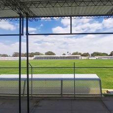
Bernal Municipal Stadium
153.6 km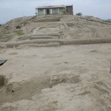
Narihualá
138.5 km
Poechos Reservoir
87.3 km
Estadio Miguel Grau
130.3 km
Tumbes National Reserve
86.1 km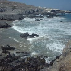
Illescas Reserved Zone
208.4 km
Cathedral of Loja-Parroquia El Sagrario
205.4 km
Playa Varadero
174.6 km
Casa Museo Gran Almirante Grau
130.5 km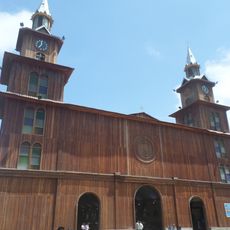
Catedral Emperatriz de Santa Elena
209.9 km
Puente Bolognesi
130.9 km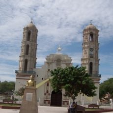
Iglesia San Martín de Tours de Sechura
163.9 km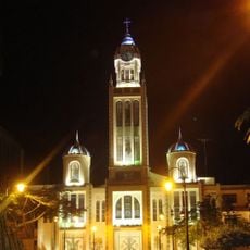
Our Lady of Mercy Cathedral, Machala
151.9 km
Iglesia San Juan Bautista, Catacaos
136.9 km
Church of Our Lady of the Pillar
159.5 km
Jardín botánico Reinaldo Espinosa
140.2 km
Cerro de Arcos
186.5 km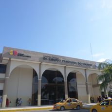
Hospital Liborio Panchana Sotomayor
209.5 km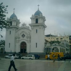
St. Nicholas Cathedral, Tumbes
88.1 km
Macará River
102.6 km
Tren Crucero
205.4 km
Cañar River
214.9 km
Balao Grande River
190.8 kmVisited this place? Tap the stars to rate it and share your experience / photos with the community! Try now! You can cancel it anytime.
Discover hidden gems everywhere you go!
From secret cafés to breathtaking viewpoints, skip the crowded tourist spots and find places that match your style. Our app makes it easy with voice search, smart filtering, route optimization, and insider tips from travelers worldwide. Download now for the complete mobile experience.

A unique approach to discovering new places❞
— Le Figaro
All the places worth exploring❞
— France Info
A tailor-made excursion in just a few clicks❞
— 20 Minutes