Enable Location

We need your location to show you interesting places around you

Discover nearby places

Find interesting locations and hidden gems around you

Precise directions

Get accurate directions and distances to places

Your location is never shared with other users. It's only used when you tap the location button.

Ecuador–Peru border

Log in to your account

Start exploring — it's free

Trusted by 67,572 travelers worldwide

Continue with Google
Continue with Apple
or

We will send you a code to connect

By continuing, you accept our Terms and Conditions and our Privacy Policy

Check your inbox

We've sent a pincode in your inbox. Please enter the code below.

Ecuador–Peru border
Discussion Reviews 1 Photos
73.6k Popularity

Ecuador–Peru border, International border between Ecuador and Peru, South America

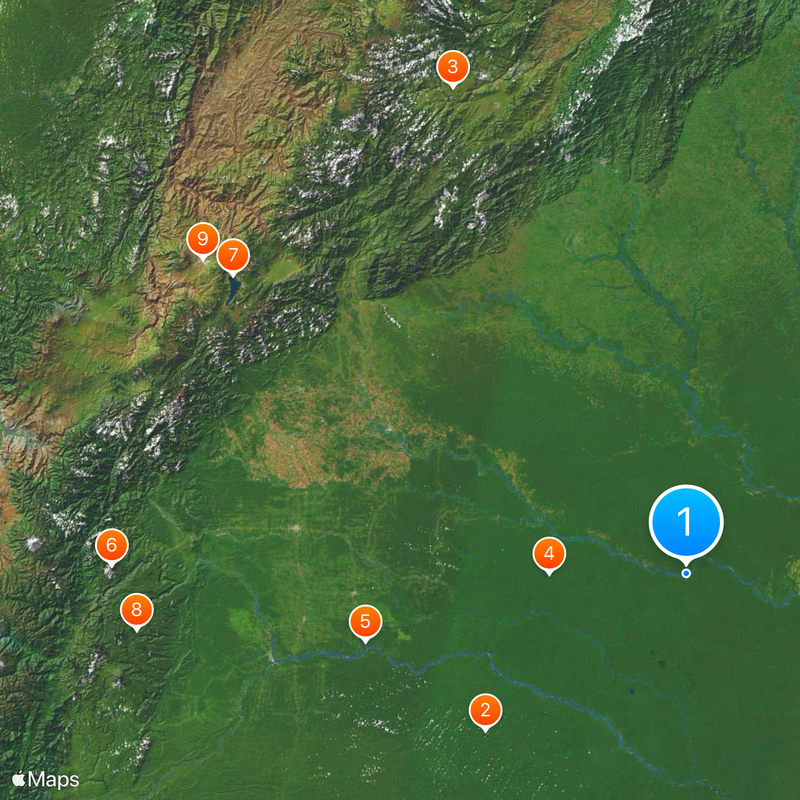
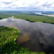
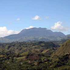
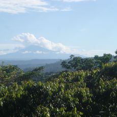
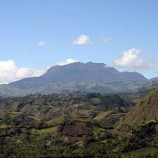
This international boundary runs over 1500 kilometers from the Pacific coast through the Andes mountains into the Amazon rainforest. The line follows rivers such as the Río Zarumilla in the west and the Napo in the east, crosses mountain ridges, and cuts through dense forest.

Spanish colonial administrations drew the line vaguely in the 16th century, leading to armed conflicts after independence. A peace treaty in 1998 ended the disputes and established the definitive course.

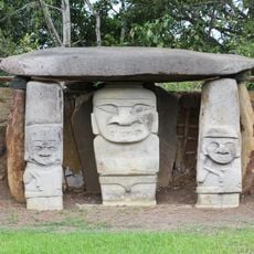
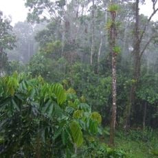
The frontier runs through areas where communities speak Kichwa and Shuar, maintaining their connection to the forest through medicinal plants and traditional foods. On both sides, people still use canoes and footpaths that predate any official line on a map.

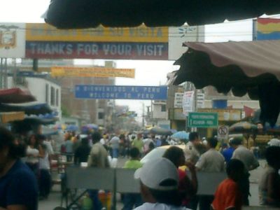
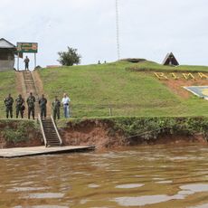
Travelers need to present valid passports at official crossings such as Huaquillas-Aguas Verdes on the coast or La Balsa in the highlands. Remote forest sections have no roads or checkpoints, so most visitors use the western points.

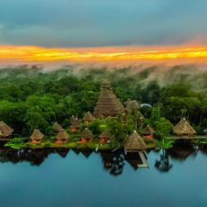
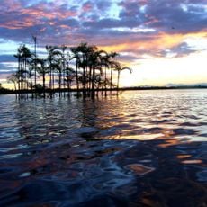
In the eastern section, the line runs through areas where researchers regularly discover species previously unknown to science. Some of these forests are so difficult to reach that biologists often need several days by river to get there.

The community of curious travelers

AroundUs brings together thousands of curated places, local tips, and hidden gems, enriched daily by 60,000 contributors worldwide.

Start exploring
Part of
borders of Peru, teorainneacha Eacuadór
GPS coordinates
-0.11817,-75.25799
Latest update
December 13, 2025 17:21
Reviews
Share your experience

No review yet

Discussions
Start a discussion...

No discussion yet

« Ecuador–Peru border - International border between Ecuador and Peru, South America » is provided by Around Us (aroundus.com). Images and texts are derived from Wikimedia project under a Creative Commons license. You are allowed to copy, distribute, and modify copies of this page, under the conditions set by the license, as long as this note is clearly visible.

Discover hidden gems everywhere you go!

From secret cafés to breathtaking viewpoints, skip the crowded tourist spots and find places that match your style. Our app makes it easy with voice search, smart filtering, route optimization, and insider tips from travelers worldwide. Download now for the complete mobile experience.

Around Us App Screenshot

A unique approach to discovering new places

Le Figaro

All the places worth exploring

France Info

A tailor-made excursion in just a few clicks

20 Minutes

Around Us
Travel Guide & Maps
Download

Send to your phone

QR Code
1

Open the camera app on your mobile.

2

Point at the QR code with your camera. A notification will appear.

3

Tap the notification to open the link.