San José de Alluriquín, parroquia rural del cantón Santo Domingo (Ecuador)
Location: Santo Domingo Canton
Elevation above the sea: 850 m
GPS coordinates: -0.32288,-78.99580
Latest update: March 18, 2025 04:47
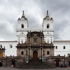
Church of Saint Francis
54.7 km
Virgin of El Panecillo
54.1 km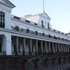
Carondelet Palace
55 km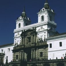
Historic Center of Quito
55.1 km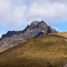
Pichincha Volcano
47 km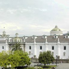
Cathedral of Quito
54.8 km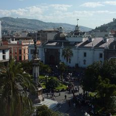
Plaza de la Independencia
55 km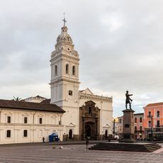
Iglesia de Santo Domingo
54.9 km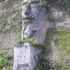
El poder brutal
22.4 km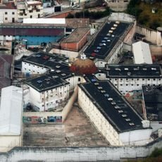
Panopticon
54.2 km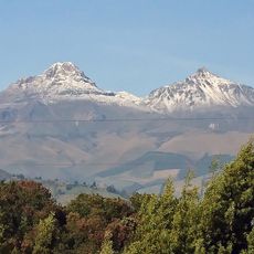
Illiniza volcano
47.5 km
Alberto Mena Caamaño Museum
54.9 km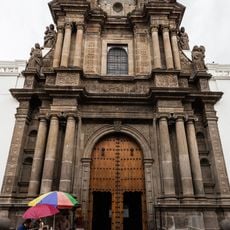
Iglesia de El Sagrario
55 km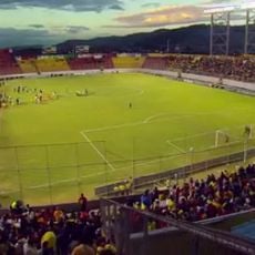
Estadio Chillogallo
50.3 km
Parque Bicentenario
60.1 km
Basílica de Nuestra Señora de la Merced
54.9 km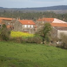
Sucre House
54.9 km
City Museum
54.7 km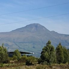
Corazón volcano
44 km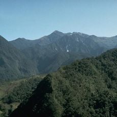
Volcano Atacazo
41.8 km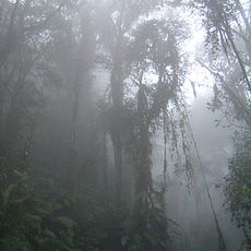
Bellavista Cloud Forest Reserve
48.9 km
Casa del Alabado Pre-Columbian Art Museum
54.6 km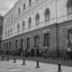
Centro Cultural Metropolitano
54.9 km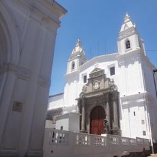
El Carmen Alto church
54.7 km
Jardín botánico La Carolina
21 km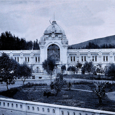
Palacio de La Recoleta
54.8 km
Pre-Columbian Art Museum House of Praise
54.6 km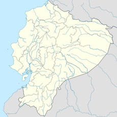
Sarapullo River
10.5 kmReviews
Visited this place? Tap the stars to rate it and share your experience / photos with the community! Try now! You can cancel it anytime.
Discover hidden gems everywhere you go!
From secret cafés to breathtaking viewpoints, skip the crowded tourist spots and find places that match your style. Our app makes it easy with voice search, smart filtering, route optimization, and insider tips from travelers worldwide. Download now for the complete mobile experience.

A unique approach to discovering new places❞
— Le Figaro
All the places worth exploring❞
— France Info
A tailor-made excursion in just a few clicks❞
— 20 Minutes