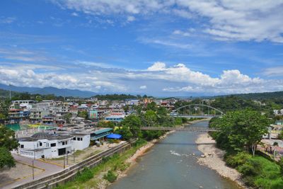
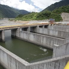
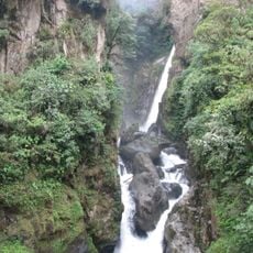
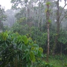
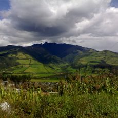
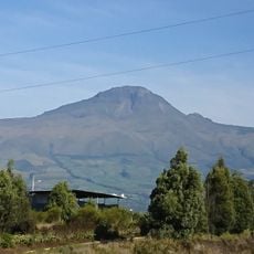
Tena Canton, canton of Napo province, Ecuador
The community of curious travelers
AroundUs brings together thousands of curated places, local tips, and hidden gems, enriched daily by 60,000 contributors worldwide.
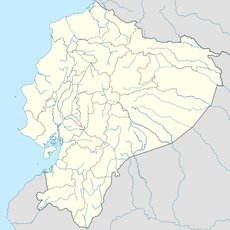
Location
Inception
January 12, 1941
Capital city
Tena
Elevation above the sea
521 m
Website
GPS coordinates
-0.98900,-77.81590
Latest update
March 8, 2025 17:28