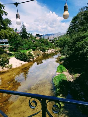
La Cumbrecita, German-style mountain village in Calamuchita Valley, Argentina.
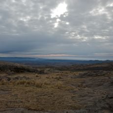
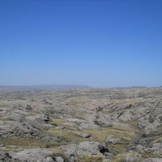
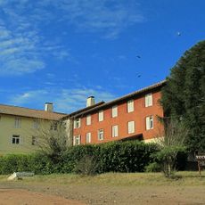
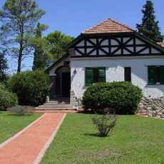
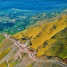
La Cumbrecita is a mountain settlement in the Calamuchita Valley at approximately 1,450 meters elevation, built with wooden houses and stone structures nestled among forests and slopes. The terrain is hilly with narrow lanes designed mainly for foot traffic.
An owner named Cabjolsky purchased extensive land in 1934 and started the first residential buildings in 1940 at this location. This early development established the foundation for the settlement's growth in the mountain region.
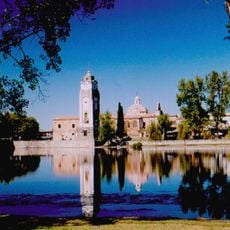
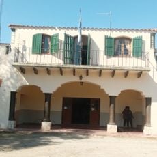
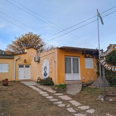
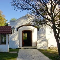
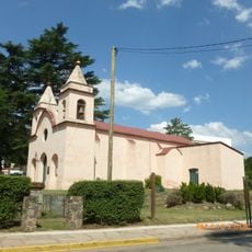
The buildings display Alpine influences through sloped roofs and light-colored facades that adapt to the mountain setting. Visitors notice these design features throughout the walkable streets.
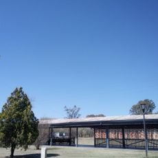
Vehicles cannot drive through the village; parking is provided at the entrance, and exploration continues on foot from there. The ground is hilly, so comfortable shoes and time for leisurely walking are recommended.
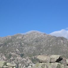
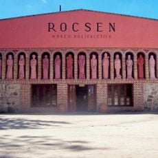
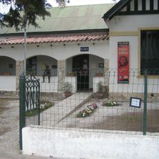
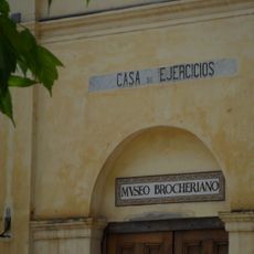
A mineral museum on-site displays rock and mineral specimens collected from the surrounding mountains, revealing the geological story of the area. Visitors can learn which stones and minerals naturally occur in these peaks.
Location: Calamuchita Department
Elevation above the sea: 1,450 m
GPS coordinates: -31.89833,-64.77333
Latest update: December 17, 2025 11:08
San Roque
64.7 km
Mount Champaquí
18.3 km
Quebrada del Condorito National Park
27.7 km
La Perla Córdoba
66 km
Jesuit Block and Estancias of Córdoba
41.8 km
Rocsen Multifaceted Museum
20.5 km
Pampa de Achala
23.9 km
Unidad Turística Embalse
47.5 km
Estancia Jesuitica Alta Gracia
41.7 km
Museo Casa del Che Guevara
41.9 km
Governor Jose Manuel de la Sota Bridge
66.3 km
Teófilo Tabanera Space Center
50.7 km
La Viña Dam
24.9 km
Villa Dolores Airport
35.6 km
Museum of the Bells
29.2 km
Mining School of José de la Quintana Senador Luis Carnevale
35.6 km
Serpentario Machaqway
26.1 km
Estacion de Tren, Almafuerte, Cordoba
59.6 km
Museo del Libro
44.4 km
Pasos Malos
50.6 km
Biblioteca Popular Almafuerte
28.9 km
Museo Manuel De Falla
42.3 km
Capilla, Colegio y C.de Ejer.Esp.de Cura Brochero
31.6 km
Reducción de Alta Gracia
41.7 km
La iglesia y sacristía; la casa vivienda (hoy llamada Casa del Virrey), el obraje, el mirador o miramar, el tajamar y las ruinas de lo que fueron el viejo molino y batanes de la Estancia Jesuítica de Alta Gracia.
41.7 km
Capilla del Rosario de Piedra Blanca
54.3 km
Museo de Arte Religioso Santa Rosa de Lima
28.9 km
Mirador del Sol
54.3 kmVisited this place? Tap the stars to rate it and share your experience / photos with the community! Try now! You can cancel it anytime.
Discover hidden gems everywhere you go!
From secret cafés to breathtaking viewpoints, skip the crowded tourist spots and find places that match your style. Our app makes it easy with voice search, smart filtering, route optimization, and insider tips from travelers worldwide. Download now for the complete mobile experience.
A unique approach to discovering new places❞
— Le Figaro
All the places worth exploring❞
— France Info
A tailor-made excursion in just a few clicks❞
— 20 Minutes