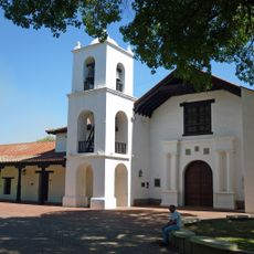
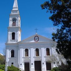
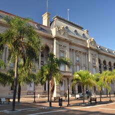
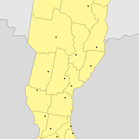
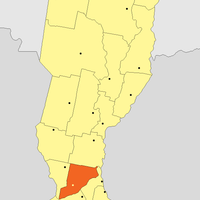
Santa Fe Province, Province in northeastern Argentina
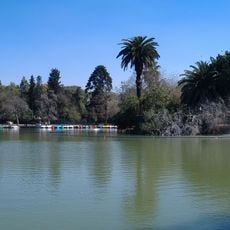
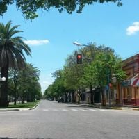
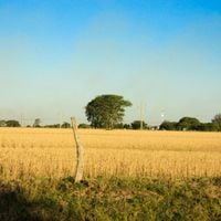
Santa Fe is a first-level administrative division in northeastern Argentina that stretches from the Paraná River in the east to the dry plains in the west. The landscape consists of wide lowland plains, agricultural areas, scattered marshlands, and subtropical dry forests in the northwest that shape the overall character of the region.
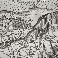
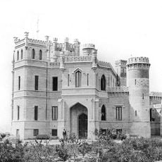
The province gained autonomy in 1816, after Sebastian Cabot established the first European settlement, the Sancti Spiritus fort, in 1527. This early outpost was destroyed two years later, but subsequent colonization eventually led to the present administrative entity.
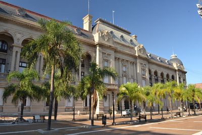
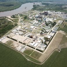
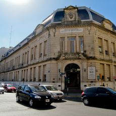
Manufacturing facilities, agricultural cooperatives, and educational institutions like the National University of the Littoral shape the industrial and academic landscape of Santa Fe Province.
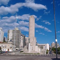
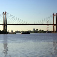
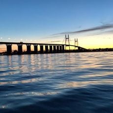
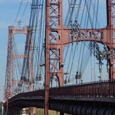
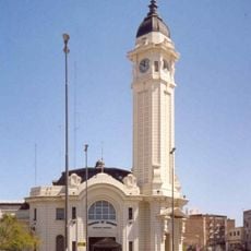
The province is accessible through river ports in Villa Constitución, Rosario, San Lorenzo, and Santa Fe that enable transportation of goods. These port towns connect the interior to the Atlantic and also serve as reference points for travelers exploring the region.
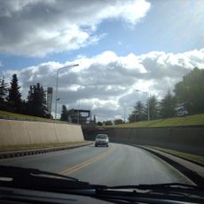
A road tunnel measuring 2393 meters connects Santa Fe city to Paraná city in Entre Ríos beneath the river. This tunnel makes crossing the regional waterways easier and significantly reduces travel time between the two shores.
Location: Argentina
Inception: 1816
Capital city: Santa Fe
Elevation above the sea: 53 m
Part of: South America Midwest Integrated Zone
Shares border with: Chaco Province, Corrientes Province, Entre Ríos Province, Buenos Aires Province, Santiago del Estero Province, Córdoba Province
Website: https://santafe.gov.ar
GPS coordinates: -33.72278,-62.24611
Latest update: December 3, 2025 18:47
Terminal de Ómnibus Mariano Moreno
170.4 km
Batallón de Comunicaciones 121, Rosario
169.8 km
Autódromo Eusebio Marcilla
153.1 km
Quinta de Funes
159.6 km
Museo Historico Provincial Doctor Julio Marc
170.4 km
Fortín de Ludueña
169.2 km
Parque Villarino
149.1 km
Museo de la Ciudad Wladimir Mikielievich
170.3 km
Iglesia Matriz San Ignacio de Loyola
154 km
Viaducto Avellaneda
170.4 km
Plaza Jewell
162.5 km
Estadio Mundialista de Hockey
163.4 km
Ángel María de Rosa Municipal Museum of Art
153.9 km
Junín Historical Museum
153.3 km
Parroquia San Miguel Arcángel
169.8 km
Paseo Ribereño González Gattone
155.9 km
Mirador de Melincué
73.1 km
Espacios verdes de Junín
154.9 km
Monumento a Leandro L. Alem
153.3 km
Biblioteca popular Cachilo
167 km
Estacion de Ferrocarril General Pinto
121.1 km
Biblioteca Popular Banateca
168 km
Museo Batalla de Cepeda
153.7 km
Teatro Verdi
26.3 km
Museo MUBAL
143.6 km
Sector del pueblo de Alcorta y el predio de la Estación del Ferrocarril Alcorta
106.1 km
Museo Ferroviario Juan Murray
160.9 km
Iglesia Parroquial de Villa Reducción
161 kmVisited this place? Tap the stars to rate it and share your experience / photos with the community! Try now! You can cancel it anytime.
Belgrano Department
Caseros Department
Castellanos Department
Constitución Department
Garay Department
General López Department
General Obligado Department
Iriondo Department
La Capital Department
Las Colonias Department
Nueve de Julio Department
Rosario Department
San Cristóbal Department
San Javier Department
San Jerónimo Department
San Justo Department, Santa Fe
San Lorenzo Department
San Martín Department
Vera Department
Discover hidden gems everywhere you go!
From secret cafés to breathtaking viewpoints, skip the crowded tourist spots and find places that match your style. Our app makes it easy with voice search, smart filtering, route optimization, and insider tips from travelers worldwide. Download now for the complete mobile experience.
A unique approach to discovering new places❞
— Le Figaro
All the places worth exploring❞
— France Info
A tailor-made excursion in just a few clicks❞
— 20 Minutes