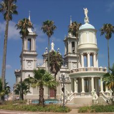
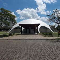
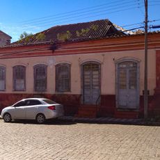
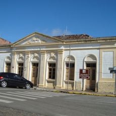
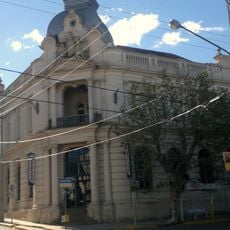
Caçapava do Sul, Municipality in Rio Grande do Sul, Brazil.
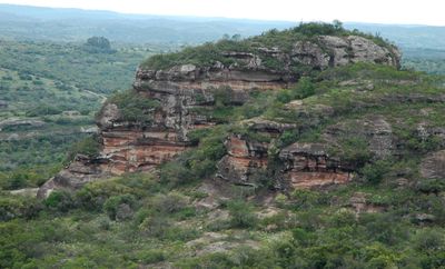
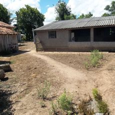
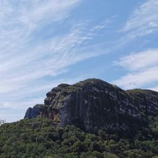
Caçapava do Sul is a municipality in southern Brazil spread across hilly terrain with valleys and river systems, situated at roughly 270 meters elevation. The landscape includes varied geography that shapes settlement patterns and local activities.
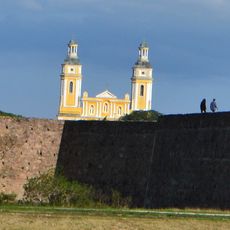
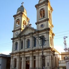
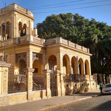
The settlement became the second capital of the Piratini Republic during a regional independence movement from 1839 to 1840. This brief period marked a significant moment in the area's political past.
Residents here follow gaucho customs, gathering regularly to share grilled meat and chimarrão tea as part of their daily social rhythm. These traditions shape how people connect with one another across the region.
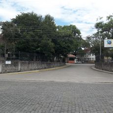
Daily bus services connect this place to larger cities throughout Rio Grande do Sul using a network of paved regional roads. Transportation links make it easy to reach nearby areas and explore the surrounding region.
This region is a major limestone mining center that supplies a large portion of Rio Grande do Sul's limestone production. Mining operations have shaped both the local economy and the appearance of the landscape.
Location: Rio Grande do Sul
Elevation above the sea: 270 m
Shares border with: São Sepé, Santana da Boa Vista, Bagé, Cachoeira do Sul, Lavras do Sul, Pinheiro Machado
Website: http://cacapava.rs.gov.br
GPS coordinates: -30.51194,-53.49083
Latest update: December 12, 2025 08:00
Sanga da Alemoa
94.5 km
Forte de D. Pedro II de Caçapava
513 m
Catedral de Nossa Senhora da Conceição
97 km
Estádio Presidente Vargas
96.8 km
Château D'Eau
77.4 km
Fandango Bridge
75.9 km
Paleontological Sites of Santa Maria
95.6 km
Estação Rodoviária de Santa Maria
94.9 km
Paleorrota
94.5 km
Dom Diogo de Souza Museum
108.3 km
Paleontological Site Arroio Cancela
95.6 km
Basilica Shrine of Our Lady Mediatrix of All Graces
95.5 km
Avenida Rio Branco
97.3 km
Theatro Treze de Maio
96.9 km
Museu Gama D'Eça
96.7 km
Planetário da UFSM
90.8 km
Museum Vincente Pallotti
95.8 km
Palacete Pedro Osório
107.9 km
Paleontological Site Jazigo Cinco
94.5 km
Comunidade Arnesto Penna Carneiro
85.6 km
Museu da Gravura Brasileira
107 km
Stones of Segredo Park
6.6 km
Casa de Ulhôa Cintra
48 m
Casa de Antônio Augusto Borges de Medeiros
84 m
Igreja Matriz Nossa Senhora da Assunção
84 m
Forum
175 m
Banco Pelotense
77.6 km
Ponte Alta (Bagé)
108 kmVisited this place? Tap the stars to rate it and share your experience / photos with the community! Try now! You can cancel it anytime.
Discover hidden gems everywhere you go!
From secret cafés to breathtaking viewpoints, skip the crowded tourist spots and find places that match your style. Our app makes it easy with voice search, smart filtering, route optimization, and insider tips from travelers worldwide. Download now for the complete mobile experience.
A unique approach to discovering new places❞
— Le Figaro
All the places worth exploring❞
— France Info
A tailor-made excursion in just a few clicks❞
— 20 Minutes