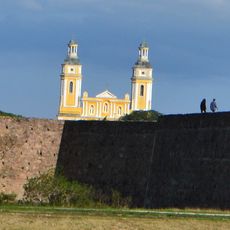
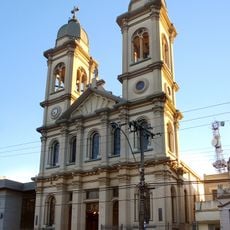
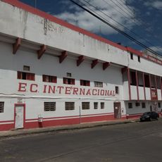
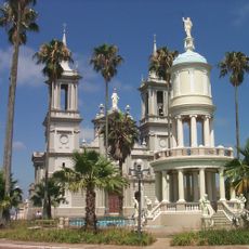
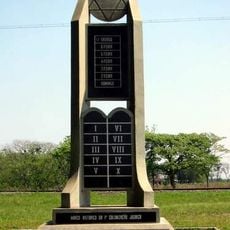
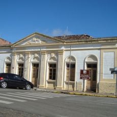
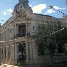
São Sepé, Municipality in Rio Grande do Sul, Brazil
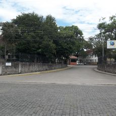
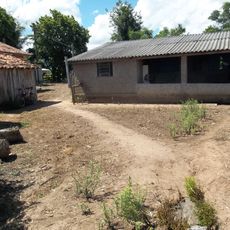
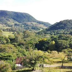
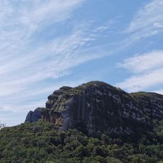
São Sepé is a municipality in Rio Grande do Sul sitting at 131 meters above sea level across farming lands. The landscape here is shaped by farms and fields that dominate the territory.
The municipality became independent from São Gabriel on December 18, 1954. This separation marked the start of a new development phase for the region.
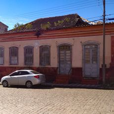
The local community keeps traditions alive through yearly celebrations featuring regional music, dance, and food from German and Italian heritage. These gatherings show how people here stay connected to their roots.
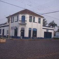
The municipality connects to larger cities through a network of highways that make traveling and doing business easier in Rio Grande do Sul. These road links give visitors easy access to the area.
Local farms here produce large quantities of soybeans, corn, and tobacco that play an important role in southern Brazil's farming economy. These crops form the economic backbone of the community.
Location: Rio Grande do Sul
Elevation above the sea: 131 m
Shares border with: Santa Maria, Caçapava do Sul, Cachoeira do Sul, Formigueiro, Lavras do Sul, Restinga Sêca, São Gabriel, Vila Nova do Sul
Website: http://saosepe.rs.gov.br
GPS coordinates: -30.16083,-53.56500
Latest update: December 7, 2025 20:45
Sanga da Alemoa
55.2 km
Forte de D. Pedro II de Caçapava
39.2 km
Catedral de Nossa Senhora da Conceição
57.9 km
Estádio Presidente Vargas
57.9 km
Château D'Eau
66.2 km
Fandango Bridge
65.3 km
Paleontological Sites of Santa Maria
56.4 km
Estação Rodoviária de Santa Maria
55.8 km
Paleorrota
55.2 km
Paleontological Site Arroio Cancela
56.4 km
Basilica Shrine of Our Lady Mediatrix of All Graces
56.5 km
Avenida Rio Branco
58.2 km
Theatro Treze de Maio
57.8 km
Museu Gama D'Eça
57.7 km
Planetário da UFSM
51.2 km
Museum Vincente Pallotti
57 km
Paleontological Site Jazigo Cinco
55.1 km
Comunidade Arnesto Penna Carneiro
46.5 km
Museum Paleontologic and Archaeological Walter Ilha
90.8 km
Quarta Colônia State Park
85.5 km
Museum Aristides Carlos Rodrigues
93 km
Stones of Segredo Park
41.7 km
Casa de Ulhôa Cintra
39.8 km
Casa de Antônio Augusto Borges de Medeiros
39.8 km
Igreja Matriz Nossa Senhora da Assunção
39.7 km
Cemitério Israelita de Philippson
71.9 km
Forum
39.6 km
Banco Pelotense
65.8 kmVisited this place? Tap the stars to rate it and share your experience / photos with the community! Try now! You can cancel it anytime.
Discover hidden gems everywhere you go!
From secret cafés to breathtaking viewpoints, skip the crowded tourist spots and find places that match your style. Our app makes it easy with voice search, smart filtering, route optimization, and insider tips from travelers worldwide. Download now for the complete mobile experience.
A unique approach to discovering new places❞
— Le Figaro
All the places worth exploring❞
— France Info
A tailor-made excursion in just a few clicks❞
— 20 Minutes