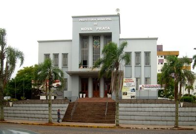
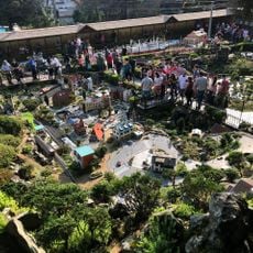
Nova Prata, Municipality in Serra Gaúcha region, Brazil
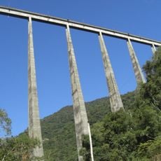
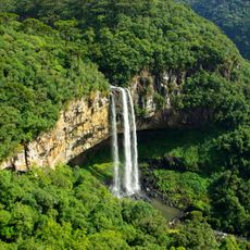
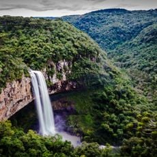
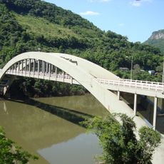
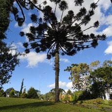
Nova Prata is a municipality in the Serra Gaúcha region characterized by undulating green terrain at an elevation around 820 meters (2,700 feet). The landscape experiences temperature shifts between cool winters and warm summers, creating conditions for varied vegetation and farming.
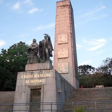
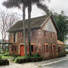
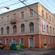
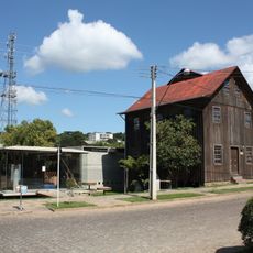
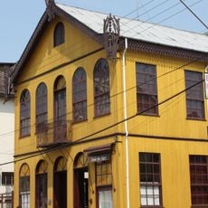
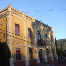
The town began in the late 1800s when German immigrants arrived and established farming communities in the region. These settlers brought agricultural techniques and craftsmanship that shaped the area's economic development over generations.
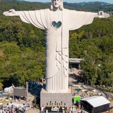
The town maintains sister city connections with communities in Italy and the United States, which bring regular cultural exchanges and visits between residents. These international relationships shape how locals see their place and its connection to the wider world.
The terrain here is hilly, so some areas require driving or walking up slopes to reach. Visiting during warmer months makes exploring easier since roads and paths are in better condition.
The area is known for substantial deposits of basalt, which earned it the status of Brazil's National Capital of Basalt. This volcanic rock extracted here is used for construction and other local purposes.
Location: Rio Grande do Sul
Elevation above the sea: 619 m
Shares border with: André da Rocha, Vista Alegre do Prata, Protásio Alves, Fagundes Varela, Guabiju, Nova Araçá, Nova Bassano, Vila Flores
Website: http://novapratars.com.br
GPS coordinates: -28.78389,-51.61000
Latest update: December 7, 2025 10:07
Christ the Protector
58.2 km
Viaduto do Exército
41.3 km
Mini Mundo
97.8 km
Caracol Falls
94.1 km
São Pelegrino's church
59.3 km
Caracol State Park
94.1 km
Ponte Ernesto Dornelles
29.6 km
Mundo a Vapor
99.1 km
Monumento Nacional ao Imigrante
61.3 km
Museu Ambiência Casa de Pedra
57.4 km
Estádio Parque Esportivo Montanha dos Vinhedos
41.8 km
Palacete Eberle
60.1 km
Museum of Caxias do Sul City
59.6 km
Cine Embaixador
97.6 km
Museu do Automobilismo Brasileiro
98.9 km
Dreamland Gramado
98 km
Passo Fundo National Forest
76.6 km
Hospital Carbone
60.9 km
Museu do Pão
52.7 km
Capela do Santo Sepulcro
60.6 km
Museu da Uva e do Vinho Primo Slomp
57.6 km
Luigi Pinzetta Museum
33.3 km
Museu dos Capuchinhos
59.5 km
Igreja Luterana Tio Hugo
98.8 km
Santo Antônio do Trinta Chapel
33.4 km
Casa de Dona Neni
32.9 km
Núcleo urbano de Santa Tereza
44.7 km
Bust of João Corrêa Ferreira da Silva
100.8 kmVisited this place? Tap the stars to rate it and share your experience / photos with the community! Try now! You can cancel it anytime.
Discover hidden gems everywhere you go!
From secret cafés to breathtaking viewpoints, skip the crowded tourist spots and find places that match your style. Our app makes it easy with voice search, smart filtering, route optimization, and insider tips from travelers worldwide. Download now for the complete mobile experience.
A unique approach to discovering new places❞
— Le Figaro
All the places worth exploring❞
— France Info
A tailor-made excursion in just a few clicks❞
— 20 Minutes