Llullaillaco National Park, High-altitude nature reserve in Antofagasta Region, Chile.
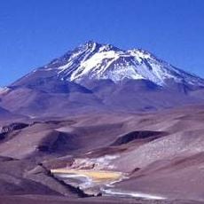
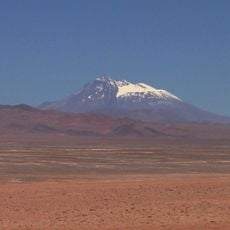
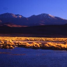
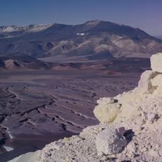
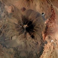
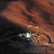
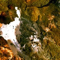
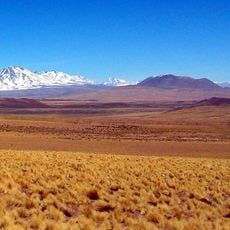
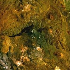
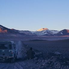
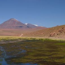
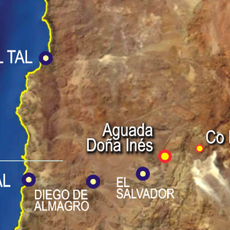
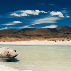
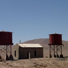
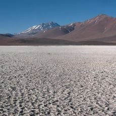
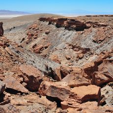
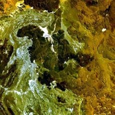
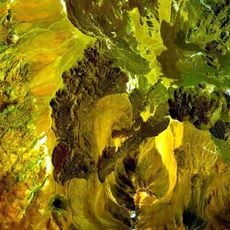
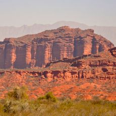
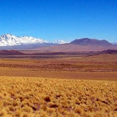
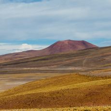
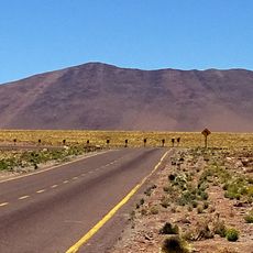
Llullaillaco National Park stretches across 268,670 hectares between the Cordillera Domeyko and the Argentine border, from 3,500 m up to the 6,739 m summit of Llullaillaco volcano. Its eastern side is mountainous, with peaks such as Cerro Guanaqueros and Cerro Aguas Clientes, while the west consists of high Andean plains cut by ravines like Quebrada de las Zorritas, where the park ranger station stands.
Pre-Hispanic herders and hunters settled near the park's watercourses, growing crops and grazing livestock. The Inca later used the high summits as ceremonial sites; a stretch of the Inca road survives in the Río Frío area, alongside five archaeological sites including tambos, camps and shelters. Three frozen mummified Inca bodies were found near the summit of Llullaillaco.
Inca ceremonial practice shaped the park's high places: the Quebrada de Tocomar and the Río Frío sector hold archaeological sites, and a stretch of the Inca road crosses the lower, flatter ground at Río Frío. Near the summit of Llullaillaco, three frozen mummified bodies of the Inca culture were found.
Access to the park requires advance planning and official approval, as the region presents extreme conditions and potential hazards for unprepared visitors. Proper preparation and respect for local guidelines are essential before visiting.
Near the summit of Llullaillaco, at about 6,700 m, the frozen remains of three Inca children were found, mummified by the intense cold. The Quebrada de Tocomar and the Río Frío area also hold tambos, camps and shelters of the Inca road.
The community of curious travelers
AroundUs brings together thousands of curated places, local tips, and hidden gems, enriched daily by 94,328 contributors worldwide.