
San Pedro de Totora Province, province of Bolivia
Location: Oruro Department
Capital city: Totora
Elevation above the sea: 4,033 m
GPS coordinates: -17.80000,-68.16667
Latest update: March 3, 2025 00:20
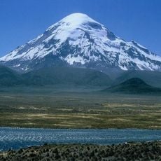
Nevado Sajama
83.3 km
Sajama National Park
85.5 km
Virgen del Socavón
112.5 km
Sajama Lines
77.3 km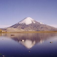
Parinacota
111.3 km
Estadio Jesús Bermúdez
113 km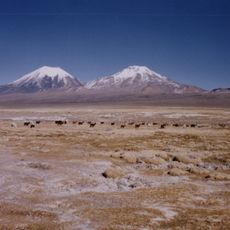
Pomerape
108.3 km
Iglesia de Calamarca
99.6 km
Chua Chuani
80.1 km
Templo de Sica Sica
68.9 km
Mount Laram Q'awa
106.2 km
Uqi Uqini
109.1 km
Suni Q'awa
85.4 km
Umurata
111.5 km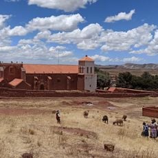
Iglesia de Caquiaviri
98.2 km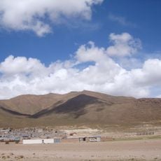
Pacha Qullu
111.8 km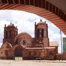
Iglesia de Caquingora
70.8 km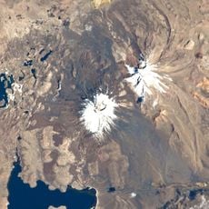
Qullqi Warani
100.1 km
Phaq'u Q'awa (Sajama)
101 km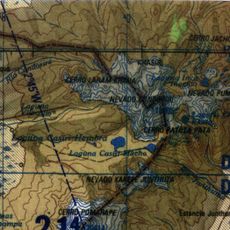
Kunturiri
99.8 km
Jisk'a Kunturiri
96 km
Pukara (Pacajes)
80.6 km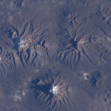
Urqipi
80.1 km
Ch'uxña Quta (Pacajes)
85.9 km
Churi Willk'i
79.9 km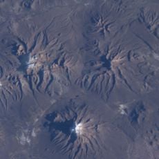
Pichaqa
73.4 km
Wila Qullu (Curahuara de Carangas)
103.6 km
Pumuta
93.9 kmReviews
Visited this place? Tap the stars to rate it and share your experience / photos with the community! Try now! You can cancel it anytime.
Discover hidden gems everywhere you go!
From secret cafés to breathtaking viewpoints, skip the crowded tourist spots and find places that match your style. Our app makes it easy with voice search, smart filtering, route optimization, and insider tips from travelers worldwide. Download now for the complete mobile experience.

A unique approach to discovering new places❞
— Le Figaro
All the places worth exploring❞
— France Info
A tailor-made excursion in just a few clicks❞
— 20 Minutes