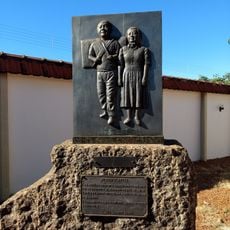
Água Clara, Municipality in Mato Grosso do Sul, Brazil.
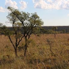
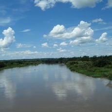
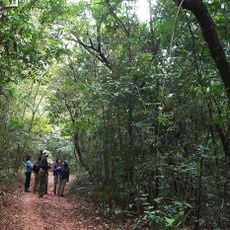
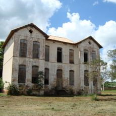
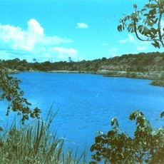
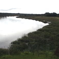
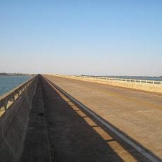
Água Clara is a municipality in the southern portion of Brazil's Midwest region characterized by open farming areas and extensive natural landscapes. The terrain shows a mix of cultivated fields and forest regions across a broad terrain.
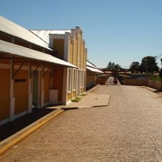
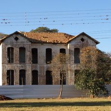
The municipality was founded in 1953, establishing formal administration in this part of the Midwest region. Its creation enabled systematic development of agricultural settlements and organized governance structures.
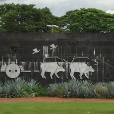
Agriculture shapes daily life here, with farmers regularly gathering to share their harvests and techniques with neighbors and visitors. These meetings reveal how farming defines the community's identity and connects people to the land.
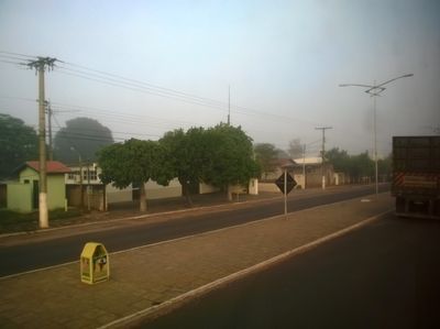
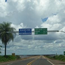
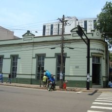
The area offers basic administrative services and facilities needed for local residents and travelers passing through. The landscape is relatively flat and easy to navigate, with clear roads connecting communities and farming areas.
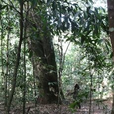
The area preserves large stretches of undisturbed natural spaces and forest regions due to its low population density. This makes it a place where nature and farming coexist without heavy development.
Location: Mato Grosso do Sul
Inception: December 11, 1953
Elevation above the sea: 303 m
Shares border with: Ribas do Rio Pardo, Paraíso das Águas, Três Lagoas, Brasilândia, Camapuã, Chapadão do Sul, Inocência
Website: http://aguaclara.ms.gov.br
GPS coordinates: -20.45000,-52.86667
Latest update: December 7, 2025 19:26
Emas National Park
263.5 km
Rollemberg–Vuolo Road–Railway Bridge
197.8 km
Puente Maurício Joppert
164.3 km
Parque das Nações Indígenas
178 km
Morada dos Baís
182.9 km
Pantanal Aquarium
178.3 km
Obelisco de Campo Grande
181.7 km
Porto de Alencastro bridge
212.2 km
Metropolitan Cathedral of Our Lady of the Abbey and St. Anthony, Campo Grande
182.7 km
Puente Francisco de Sá
134.5 km
José Antônio Pereira Museum
184 km
Monumento ao Índio
178.3 km
Aguapeí State Park
167.2 km
Oxcart Monument
183.3 km
Conjunto Ferroviario de Campo Grande
183 km
Matas do Segredo State Park
179.8 km
Lagoa São Paulo Reserve
167.4 km
Palácio do Imperador
142.6 km
Parque Estadual do Prosa
176.7 km
Great Pontal Reserve
205.5 km
Cascalheira
129.3 km
Cisalpina Private Natural Heritage Reserve
130.7 km
Casa do Artesão de Campo Grande
182.8 km
Rock art sites of Alcinópolis
252.5 km
Emperor's Palace (Former military colony)
142.6 km
Museu Histórico da Colonização de Pereira Barreto
183.9 km
Monument to the Guaicurus Knights
179 km
Ponte Novo Oriente
180.8 kmVisited this place? Tap the stars to rate it and share your experience / photos with the community! Try now! You can cancel it anytime.
Discover hidden gems everywhere you go!
From secret cafés to breathtaking viewpoints, skip the crowded tourist spots and find places that match your style. Our app makes it easy with voice search, smart filtering, route optimization, and insider tips from travelers worldwide. Download now for the complete mobile experience.
A unique approach to discovering new places❞
— Le Figaro
All the places worth exploring❞
— France Info
A tailor-made excursion in just a few clicks❞
— 20 Minutes