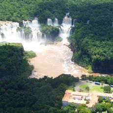
Ciudad del Este, Administrative centre in eastern Paraguay
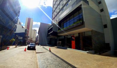
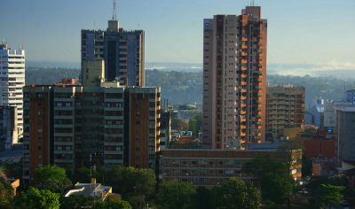
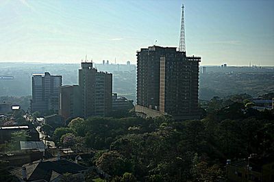
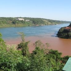
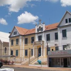
This city sits on the eastern bank of the Paraná River and serves as the second-largest urban area in Paraguay, positioned at the meeting point of three countries. The main streets run inland from the river, lined with multi-story commercial buildings and dense residential neighborhoods that spread over several kilometers.
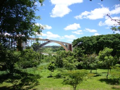
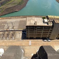
Founded in 1957 under the name Puerto Flor de Lis, the settlement grew quickly after the opening of the Friendship Bridge in 1965, which connected it directly to Brazil. Work on the nearby hydroelectric project during the 1970s and 1980s brought an influx of workers and merchants from neighboring countries.
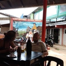
Shops in the center display Arabic script alongside Spanish signs, while street vendors shift between Guaraní, Portuguese, and Korean in the outdoor markets. The food stalls offer tereré sellers next to falafel stands and Asian kitchens, showing how different communities share daily routines.
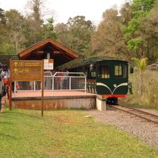
Travelers reach the area through Guaraní International Airport or by crossing the Friendship Bridge from Foz do Iguaçu in Brazil, with regular bus connections serving both sides. The main shopping districts sit within walking distance of the bridge, while the rest of the area is best explored by taxi or local bus.
The border crossing at the Friendship Bridge ranks among the busiest land crossings in South America, with thousands of pedestrians and vehicles moving between two countries each day. The river marks not just a political boundary but also a time zone line, so visitors gain or lose an hour when crossing the bridge.
The community of curious travelers
AroundUs brings together thousands of curated places, local tips, and hidden gems, enriched daily by 60,000 contributors worldwide.