Miranda, Municipality in Mato Grosso do Sul, Brazil
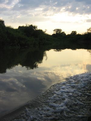
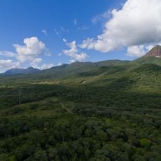
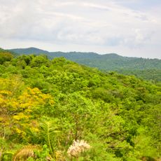
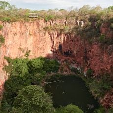
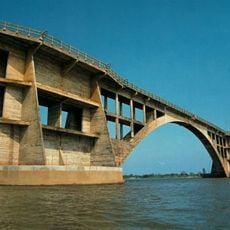
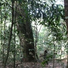
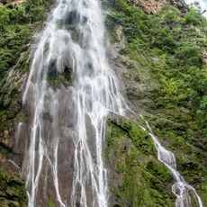
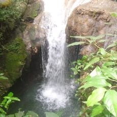
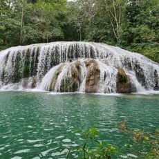
Miranda is a municipality in central-western Mato Grosso do Sul covering roughly 5,500 square kilometers at an elevation of about 125 meters (410 feet). The Rio Miranda flows through the territory, shaping the landscape and how the population is distributed across the land.
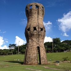
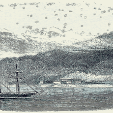
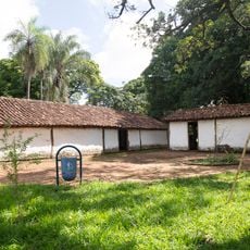
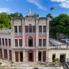
The settlement began in 1784 with the construction of the Nossa Senhora do Carmo do Rio Mondego fortress to protect the region from outside threats. This military installation marked the start of permanent occupation in the area.
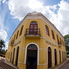
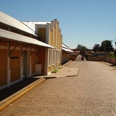
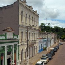
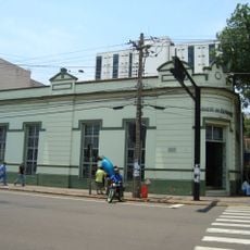
The town developed as a river crossing point where trade and local commerce shaped the daily rhythm of the community. This role created space for traditional ways of working that visitors can still observe in everyday life.
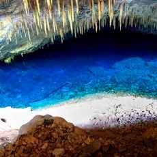
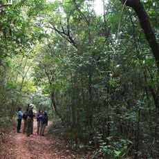
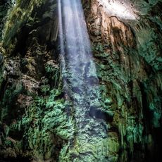
Visitors can explore the natural surroundings and river landscapes on foot or by car through the territory. The best time to visit is outside the rainy season when roads are easier to access.
The Rio Miranda is known for its importance to local fishing and natural resource management that remain income sources for many residents today. This river system shaped the entire development of the area and remains its economic anchor.
Location: Mato Grosso do Sul
Elevation above the sea: 122 m
Shares border with: Anastácio, Aquidauana, Bodoquena, Bonito, Corumbá
Website: http://miranda.ms.gov.br
GPS coordinates: -20.24083,-56.37778
Latest update: December 7, 2025 19:22
Maciço do Urucum
172 km
Parque das Nações Indígenas
189.8 km
Morada dos Baís
185.1 km
Pantanal Aquarium
189.6 km
Serra da Bodoquena National Park
96.8 km
Blue Lake Cave
103.1 km
Fort of Coimbra
152.1 km
Obelisco de Campo Grande
186.3 km
Buraco das Araras
139.3 km
Metropolitan Cathedral of Our Lady of the Abbey and St. Anthony, Campo Grande
185.3 km
José Antônio Pereira Museum
185.4 km
Buraco das Araras
139.3 km
Monumento ao Índio
189.6 km
Eurico Gaspar Dutra Bridge
132.1 km
Oxcart Monument
184.8 km
Conjunto Ferroviario de Campo Grande
184.8 km
Our Lady of Candelaria Cathedral, Corumbá
192.2 km
Matas do Segredo State Park
187.5 km
Parque Estadual do Prosa
191.1 km
Pantanal History Museum
192.6 km
Mary Help of Christians Cathedral, Fuerte Olimpo
179.3 km
Casa do Artesão de Campo Grande
185.2 km
Cachoeira Boca da Onça
65.5 km
Monument to the Guaicurus Knights
188.8 km
Memorial do Homem Pantaneiro
192.6 km
Abismo Anhumas
104.1 km
Buraco do Macaco
66 km
Estância Mimosa
83.9 kmVisited this place? Tap the stars to rate it and share your experience / photos with the community! Try now! You can cancel it anytime.
Discover hidden gems everywhere you go!
From secret cafés to breathtaking viewpoints, skip the crowded tourist spots and find places that match your style. Our app makes it easy with voice search, smart filtering, route optimization, and insider tips from travelers worldwide. Download now for the complete mobile experience.
A unique approach to discovering new places❞
— Le Figaro
All the places worth exploring❞
— France Info
A tailor-made excursion in just a few clicks❞
— 20 Minutes