Enable Location

We need your location to show you interesting places around you

Discover nearby places

Find interesting locations and hidden gems around you

Precise directions

Get accurate directions and distances to places

Your location is never shared with other users. It's only used when you tap the location button.

Xangri-lá

Log in to your account

Start exploring — it's free

Trusted by 62,033 travelers worldwide

Continue with Google
Continue with Apple
or

We will send you a code to connect

By continuing, you accept our Terms and Conditions and our Privacy Policy

Check your inbox

We've sent a pincode in your inbox. Please enter the code below.

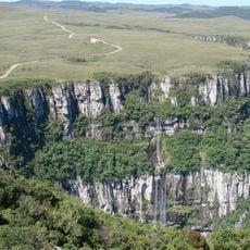
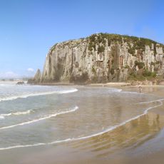
Xangri-lá, Coastal municipality in Rio Grande do Sul, Brazil

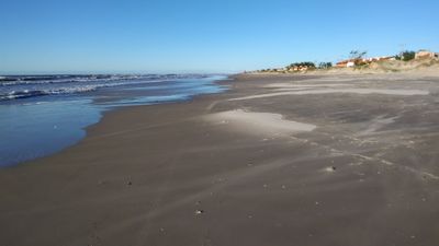
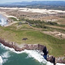
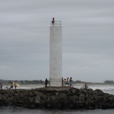
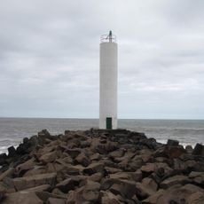
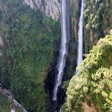
Xangri-lá is a coastal municipality in southern Brazil within Rio Grande do Sul, stretching along low-lying shorelines near sea level. The territory is divided into nine distinct seaside neighborhoods, each with its own beaches and residential areas.

The area was part of the larger municipality of Capão da Canoa until it became an independent administrative division in 1992. This separation allowed the nine settlements to develop as a unified community.

The name comes from Sanskrit and refers to a paradise or perfect place on earth. This spirit reflects in how the local communities embrace their seaside lifestyle and connection to the coast.

The location is roughly 130 kilometers south of Porto Alegre and accessible from multiple regional airports. Driving is the most practical way to reach the different beach neighborhoods and explore the coastal areas.

The municipal flag features a golden sun ringed by eleven white stars, with each star representing one of the area's distinct settlements. This symbol shows how nine coastal neighborhoods unite under a shared local identity.

The community of curious travelers

AroundUs brings together thousands of curated places, local tips, and hidden gems, enriched daily by 60,000 contributors worldwide.

Start exploring
Elevation above the sea
1 m
Shares border with
Maquiné, Capão da Canoa, Osório
GPS coordinates
-29.80083,-50.04389
Latest update
December 12, 2025 17:42
« Xangri-lá - Coastal municipality in Rio Grande do Sul, Brazil » is provided by Around Us (aroundus.com). Images and texts are derived from Wikimedia project under a Creative Commons license. You are allowed to copy, distribute, and modify copies of this page, under the conditions set by the license, as long as this note is clearly visible.

Discover hidden gems everywhere you go!

From secret cafés to breathtaking viewpoints, skip the crowded tourist spots and find places that match your style. Our app makes it easy with voice search, smart filtering, route optimization, and insider tips from travelers worldwide. Download now for the complete mobile experience.

Around Us App Screenshot

A unique approach to discovering new places

Le Figaro

All the places worth exploring

France Info

A tailor-made excursion in just a few clicks

20 Minutes

Around Us
Travel Guide & Maps
Download

Send to your phone

QR Code
1

Open the camera app on your mobile.

2

Point at the QR code with your camera. A notification will appear.

3

Tap the notification to open the link.