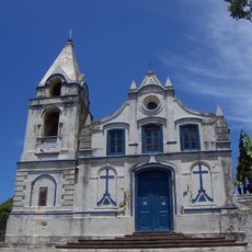
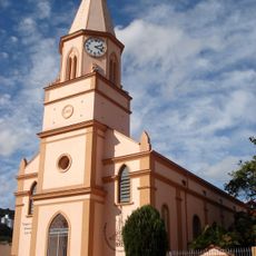
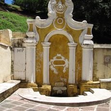
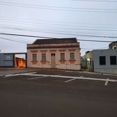
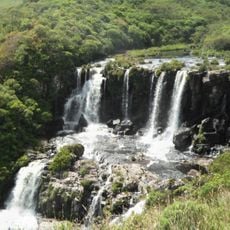
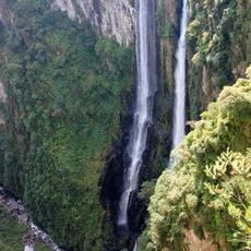
Maquiné, Municipality in Rio Grande do Sul, Brazil
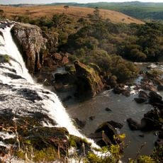
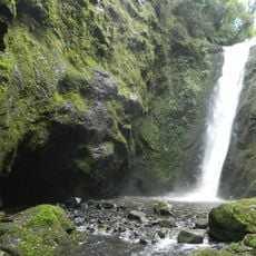
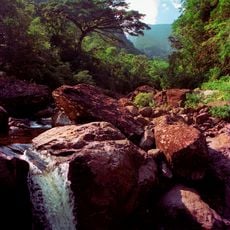
Maquiné is a municipality in southern Rio Grande do Sul situated at about 12 meters above sea level. The area is characterized by river valleys and a mix of agricultural lands and residential zones.
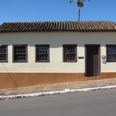
European settlement began in 1816 when descendants of Azorean colonists arrived in the region. From 1840 onward, the valley became important for sugar cane cultivation and brandy production.
The population includes descendants of German, Italian, and Polish settlers alongside indigenous Tupi communities. This mixed heritage shapes local traditions and daily life in the municipality.
The municipality is small and easy to navigate on foot, making it simple to explore the main areas. Spring through fall is the best time to visit, when the weather is mild and comfortable.
The name Maquiné comes from the Tupi language and refers to the river valley location. This indigenous naming reflects the region's deep historical connection to its original inhabitants.
Location: Rio Grande do Sul
Inception: March 20, 1992
Elevation above the sea: 12 m
Shares border with: Riozinho, Xangri-lá, Capão da Canoa, Caraá, Itati, Osório, São Francisco de Paula, Terra de Areia
Website: http://maquine.rs.gov.br
GPS coordinates: -29.67500,-50.20694
Latest update: December 10, 2025 15:54
Cathedral of Our Lady of Lourdes
67.8 km
Aparados da Serra National Park
54.8 km
Itaimbezinho
56.8 km
Serra Geral National Park
68.4 km
Khadro Ling Buddhist Temple
55.5 km
Fortaleza Canyon
72.4 km
Praia da Guarita
58.5 km
Parque Estadual José Lutzenberger
58.1 km
Igreja Matriz de São Domingos
59.3 km
Tainhas State Park
67.5 km
São Francisco de Paula National Forest
33 km
Itapeva State Park
56.2 km
Igreja Gabriel
57.9 km
Museu Antropológico Caldas Júnior
33.8 km
Morro de Osório Protected Area
25.2 km
Capão da Canoa Lighthouse
21 km
Faro de Torres
59.1 km
Mampituba North Mole Lighthouse
61.8 km
Mampituba South Mole Lighthouse
61.8 km
Torres Lighthouse
59.1 km
Malacara Canyon
63.7 km
Fonte Imperial
33.9 km
Biblioteca Pública Municipal Júlio Costa
33.8 km
Tigre Preto Waterfall
70.4 km
Cachoeira das Andorinhas
58.7 km
Torres Lighthouse
59.1 km
Collection of the Museu de Armas General Osório
34.6 km
Museu da Via Férrea e Antropológico de Osório
24.4 kmVisited this place? Tap the stars to rate it and share your experience / photos with the community! Try now! You can cancel it anytime.
Discover hidden gems everywhere you go!
From secret cafés to breathtaking viewpoints, skip the crowded tourist spots and find places that match your style. Our app makes it easy with voice search, smart filtering, route optimization, and insider tips from travelers worldwide. Download now for the complete mobile experience.
A unique approach to discovering new places❞
— Le Figaro
All the places worth exploring❞
— France Info
A tailor-made excursion in just a few clicks❞
— 20 Minutes