Enable Location

We need your location to show you interesting places around you

Discover nearby places

Find interesting locations and hidden gems around you

Precise directions

Get accurate directions and distances to places

Your location is never shared with other users. It's only used when you tap the location button.

Orleans

Log in to your account

Join the adventure

Create your free account and start exploring

Save your favorite places
Create custom travel routes
Rate and review places
Access the full interactive map
Continue with Google
Continue with Apple
Continue with email
By continuing, you accept our Terms and Conditions and our Privacy Policy

We will send you a code to connect

We've sent a pincode in your inbox. Please enter the code below.

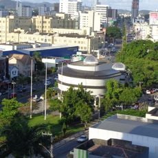
Orleans, Administrative municipality in southern Santa Catarina, Brazil.

Description

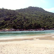
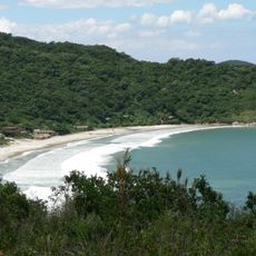
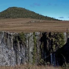
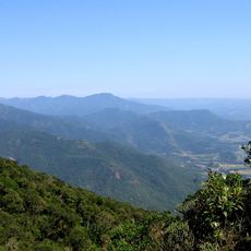
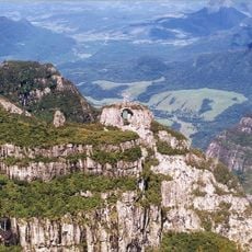
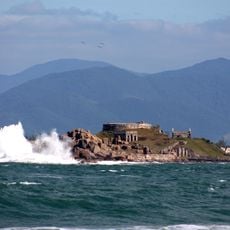
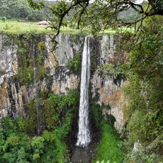
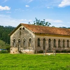
Orleans is a municipality in southern Santa Catarina, Brazil, spread across a large area of land. The territory sits at about 217 meters elevation and includes portions of Serra Furada State Park with its natural preserves.

History

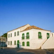
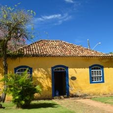
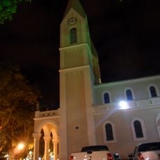
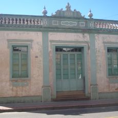
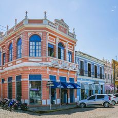
The city was founded in 1884 and named after a French nobleman who married a Brazilian princess. This connection between European and Brazilian history shaped the settlement's early development.

Culture

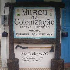
Italian settlers established the first community here, and were later joined by people from German-speaking regions, Poland, Norway, Latvia, and the Netherlands. Each group brought their own traditions, which visitors can still see in local customs and how the town developed.

Practical

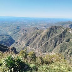
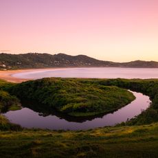
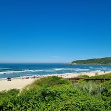
The area includes natural zones suitable for hiking and outdoor exploration. Visitors should be prepared for temperature swings that can be quite extreme depending on the season.

Did you know?

The area experiences remarkable temperature swings, ranging from intense heat to frost depending on the season. These contrasts shape how the landscape looks and changes throughout the year.

i
Location
i
Elevation above the sea
217 m
i
Shares border with
Urubici, Bom Jardim da Serra, Braço do Norte, Grão-Pará, Lauro Müller, Pedras Grandes, São Ludgero, Urussanga
i
GPS coordinates
-28.35889,-49.29083
i
Latest update
December 20, 2025 14:43

AroundUs brings together thousands of curated places, local tips, and hidden gems, enriched daily by 60,000 contributors worldwide. Discover all places nearby (Santa Catarina).

Reviews

Visited this place? Tap the stars to rate it and share your experience / photos with the community! Try now! You can cancel it anytime.

« Orleans - Administrative municipality in southern Santa Catarina, Brazil » is provided by Around Us (aroundus.com). Images and texts are derived from Wikimedia project under a Creative Commons license. You are allowed to copy, distribute, and modify copies of this page, under the conditions set by the license, as long as this note is clearly visible.

Discover hidden gems everywhere you go!

From secret cafés to breathtaking viewpoints, skip the crowded tourist spots and find places that match your style. Our app makes it easy with voice search, smart filtering, route optimization, and insider tips from travelers worldwide. Download now for the complete mobile experience.

Around Us App Screenshot

A unique approach to discovering new places

Le Figaro

All the places worth exploring

France Info

A tailor-made excursion in just a few clicks

20 Minutes