São Ludgero, Municipality in Santa Catarina, Brazil.
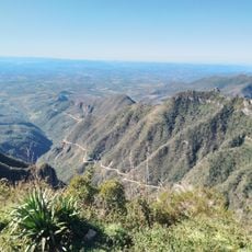
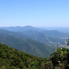
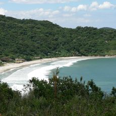
São Ludgero is a municipality in southern Santa Catarina covering approximately 113 square kilometers at an elevation of about 50 meters above sea level. The landscape forms the foundation of this settled region in the state.
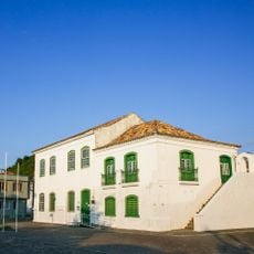
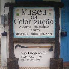
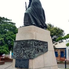
The municipality was founded in 1873 by German settlers from the Münster region who had left Heek and relocated from Colônia Teresópolis. These migrants sought better soil conditions and established the foundation for the settlement's later development.
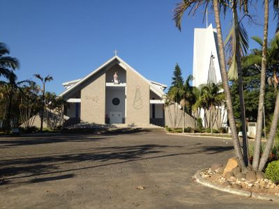
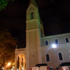
The town takes its name from a Dutch saint venerated in Westphalia, who in local tradition saved crops from wild geese. This name reflects the religious roots that the founding families brought with them.
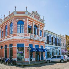
The town centers on agricultural activities with large-scale production of poultry, dairy cattle, corn, and vegetables. Visitors will find a rural area focused mainly on food production and small industrial operations.
German was the main language in schools and churches here until the 1930s. The shift to Portuguese during World War II marked a profound change in the community's daily life and identity.
Location: Santa Catarina
Elevation above the sea: 50 m
Shares border with: Braço do Norte, Gravatal, Orleans, Pedras Grandes, Tubarão
Website: https://saoludgero.sc.gov.br
GPS coordinates: -28.32583,-49.17667
Latest update: December 8, 2025 13:42
Guarda do Embaú
73.8 km
Santa Marta Lighthouse
47.1 km
Serra do Rio do Rastro
36.1 km
Pico do Monte Negro
69.2 km
Serra do Tabuleiro State Park
53.4 km
São Joaquim National Park
37.3 km
Fortaleza de Nossa Senhora da Conceição de Araçatuba
80.1 km
Museum Anita Garibaldi
42.1 km
Cascata do Avencal
53.2 km
Museu Casa de Anita
42.6 km
Parque Estadual da Serra Furada
27.7 km
Museu Willy Zumblick
22.7 km
St. Joseph's Cathedral, Criciúma
43.4 km
Baleia Franca Environmental Protection Area
50.6 km
Imbituba lighthouse
53 km
Araranguá Lighthouse
70.2 km
Museu da Colonização Uberto Brüning Schlickmann
478 m
Praia do Rosa
57.3 km
Casa Pinto D'Ulisséa
42.6 km
Marco do Tratado de Tordesilhas
42 km
Imóvel situado à Av. Presidente Vargas, 43
26 km
Imóvel situado à Estrada Geral de Pedrinhas
12 km
Santo Ofício
64.4 km
Praia dos Naufragados
81.3 km
Monument to Anita Garibaldi
42.2 km
Cine Show Tubarão
24.1 km
Historic center of Laguna
42.2 km
Cascata Encantada
55.6 kmVisited this place? Tap the stars to rate it and share your experience / photos with the community! Try now! You can cancel it anytime.
Discover hidden gems everywhere you go!
From secret cafés to breathtaking viewpoints, skip the crowded tourist spots and find places that match your style. Our app makes it easy with voice search, smart filtering, route optimization, and insider tips from travelers worldwide. Download now for the complete mobile experience.
A unique approach to discovering new places❞
— Le Figaro
All the places worth exploring❞
— France Info
A tailor-made excursion in just a few clicks❞
— 20 Minutes