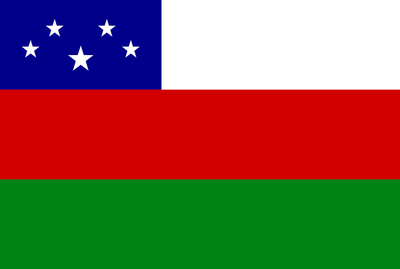
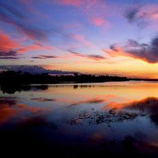
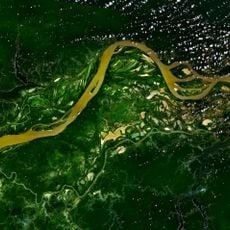
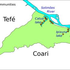
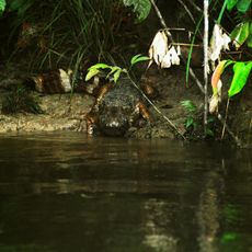
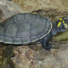
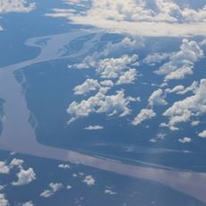
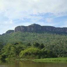
Fonte Boa, municipality in Amazonas state, Brazil.
Location: Amazonas
Elevation above the sea: 62 m
Shares border with: Japurá, Juruá, Jutaí, Maraã, Tonantins, Uarini
GPS coordinates: -2.51389,-66.09167
Latest update: April 5, 2025 21:50
Pico da Neblina
369 km
Amacayacu National Park
469.3 km
Piedra del Cocuy
425.5 km
Pico da Neblina National Park
315.7 km
Pico 31 de Março
369.6 km
Jaú National Park
388.3 km
Serranía La Neblina National Park
385.4 km
Piedra del Cocuy Natural Monument
425.5 km
Santa Rosa Island
469.9 km
Mamirauá Sustainable Development Reserve
53.8 km
Cachoeira do El Dorado
485.8 km
Central Amazon Conservation Complex
454.6 km
Morro dos Seis Lagos Biological Reserve
322.3 km
Central Amazon Ecological Corridor
222.6 km
Médio Juruá Extractive Reserve
384.4 km
Forte de São José de Marabitanas
406.4 km
Tefé National Forest
166.2 km
Cué-cué/Marabitanas Indigenous Territory
383.9 km
Catuá-Ipixuna Extractive Reserve
260.3 km
Chineria Island
472 km
Uacari Sustainable Development Reserve
401.1 km
Natural Reserve Palmari
506.9 km
Auatí-Paraná Extractive Reserve
67.2 km
Reserva Extrativista do Rio Unini
514.8 km
Ilha Aramacá
470.8 km
Cerros Vinilla y Aratitiyope Natural Monument
526.9 km
Sierra Unturan Natural Monument
480.8 km
Cerros Tapirapecó y Tamacuari Natural Monument
449.8 kmReviews
Visited this place? Tap the stars to rate it and share your experience / photos with the community! Try now! You can cancel it anytime.
Discover hidden gems everywhere you go!
From secret cafés to breathtaking viewpoints, skip the crowded tourist spots and find places that match your style. Our app makes it easy with voice search, smart filtering, route optimization, and insider tips from travelers worldwide. Download now for the complete mobile experience.
A unique approach to discovering new places❞
— Le Figaro
All the places worth exploring❞
— France Info
A tailor-made excursion in just a few clicks❞
— 20 Minutes