
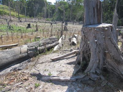
Jamanxim National Forest, forêt nationale du Brésil
Location: Pará
Inception: February 13, 2006
GPS coordinates: -7.53700,-55.74800
Latest update: March 3, 2025 02:07
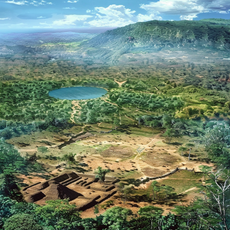
Kuhikugu
629.2 km
Amazônia National Park
365.4 km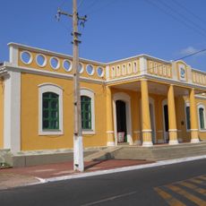
João Fona cultural centre
581.3 km
Juruena National Park
266.8 km
Pau do Presidente
627.9 km
Tapajós hydroelectric complex
331.9 km
Cristalino State Park
221.6 km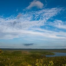
National Forest Tapajós
453.7 km
Kayapó Indigenous Territory
428.3 km
Serra do Pardo National Park
367.4 km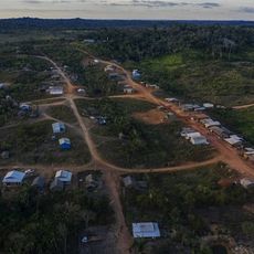
Apyterewa Indigenous Territory
459.9 km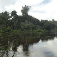
Jamanxim National Park
200.4 km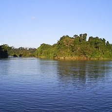
Rio Novo National Park
61.2 km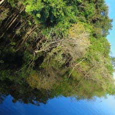
Juma Sustainable Development Reserve
538.1 km
Terra do Meio Ecological Station
465.5 km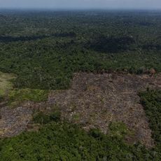
Trincheira/Bacajá Indigenous Territory
568.1 km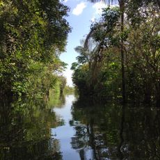
Tapajós Environmental Protection Area
156.1 km
Tapirapé Biological Reserve
608 km
Xingu State Park
430.1 km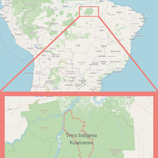
Terra Indígena Koatinemo
529.4 km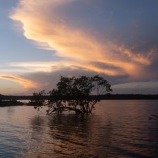
Tapajós-Arapiuns Extractive Reserve
463.6 km
Crepori National Forest
180.3 km
Forte Gurjão
626.2 km
Itaituba II National Forest
266.1 km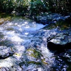
Trairão National Forest
293.6 km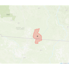
Terra Indígena Panará
273.2 km
Rio Xingu Extractive Reserve
485.6 km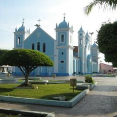
Borba Cathedral
551.6 kmVisited this place? Tap the stars to rate it and share your experience / photos with the community! Try now! You can cancel it anytime.
Discover hidden gems everywhere you go!
From secret cafés to breathtaking viewpoints, skip the crowded tourist spots and find places that match your style. Our app makes it easy with voice search, smart filtering, route optimization, and insider tips from travelers worldwide. Download now for the complete mobile experience.

A unique approach to discovering new places❞
— Le Figaro
All the places worth exploring❞
— France Info
A tailor-made excursion in just a few clicks❞
— 20 Minutes