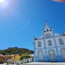
Cavalcante, Municipality in northern Goiás, Brazil
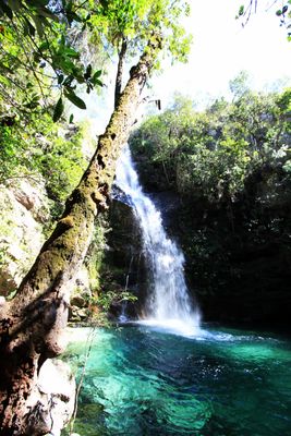
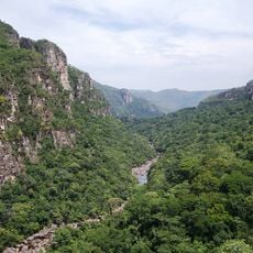
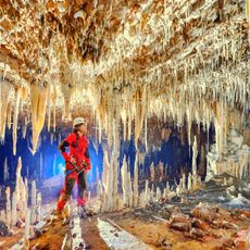
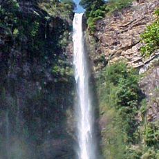
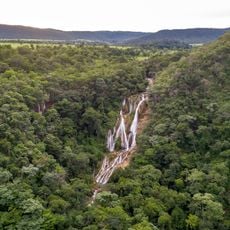
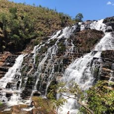
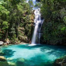
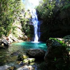
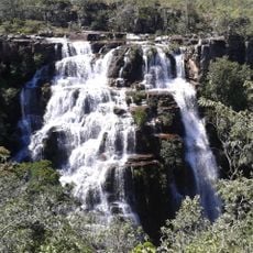
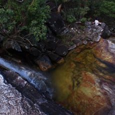
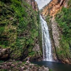
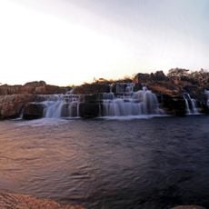
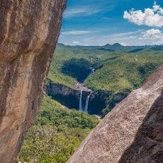
Cavalcante is a municipality in northern Goiás that covers a large area of terrain at an elevated location. The region is characterized by numerous waterfalls and mineral springs scattered throughout the landscape.
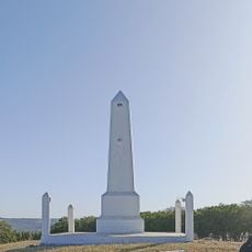
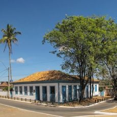
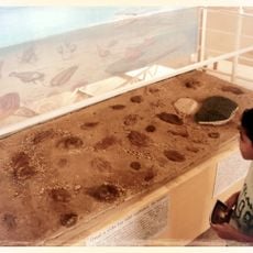
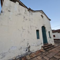
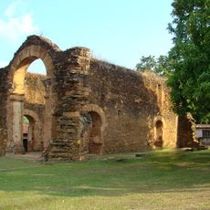
The settlement began after gold was discovered near the Lava Pés stream, attracting miners to the area. It later developed from a mining outpost into an organized municipality.
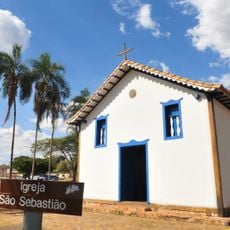
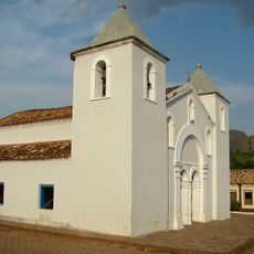
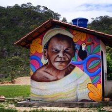
The Kalunga community maintains traditions rooted in African, European, and indigenous heritage that remain visible in daily life and local practices. These cultural expressions are particularly evident in the quilombo settlements of Contenda and Vão do Calunga, where residents continue ancestral customs.
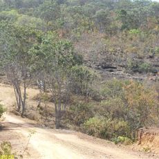
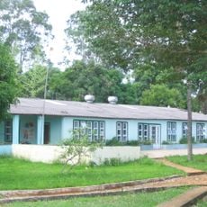
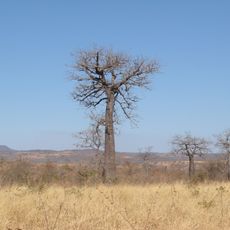
The town is connected to neighboring communities by paved roads and provides basic services for residents and visitors. Those interested in exploring natural attractions should expect hiking and prepare accordingly for outdoor activities in the region.
The region contains a substantial number of documented waterfalls and hot mineral springs accessible by hiking trails. These water features are distributed across the area and offer memorable experiences for visitors seeking natural discovery.
Location: Goiás
Elevation above the sea: 823 m
Shares border with: Monte Alegre de Goiás, Alto Paraíso de Goiás, Arraias, Colinas do Sul, Minaçu, Paranã, Teresina de Goiás
GPS coordinates: -13.79778,-47.45778
Latest update: December 7, 2025 19:24
Cerrado
33.7 km
Chapada dos Veadeiros National Park
39 km
Brasilia Digital TV Tower
215.4 km
Pedra fundamental de Brasília
211.5 km
Águas Emendadas Ecological Station
196.7 km
Terra Ronca State Park
117.5 km
Igreja de São Sebastião
204.4 km
Bisnau Archaeological Site
190.4 km
Itiquira Falls
174.8 km
Bona Espero
41.2 km
Cachoeira do Bisnau
177.1 km
Museu Histórico e Artístico de Planaltina
204.2 km
Memorial Serra da Mesa
190.2 km
Cataratas dos Couros
62.5 km
Reserva Extrativista do Recanto das Araras de Terra Ronca
119.5 km
Igreja Matriz de Nossa Senhora da Natividade
234.2 km
Igreja de São Benedito
234.6 km
Cachoeira Santa Bárbara
29 km
Ruínas da Igreja de Nossa Senhora do Rosário dos Pretos
234.2 km
Cachoeira de Santa Bárbara
29 km
Igreja Matriz
111.7 km
Cachoeira do Córrego Almécegas II
46.1 km
Cachoeira do Abismo
60.6 km
Cachoeira do Segredo
65.7 km
Cachoeira das Sete Quedas
46 km
Quilombo Kalunga
2.7 km
Historical center of Natividade
207.5 km
Mirante da Janela
59.7 kmVisited this place? Tap the stars to rate it and share your experience / photos with the community! Try now! You can cancel it anytime.
Discover hidden gems everywhere you go!
From secret cafés to breathtaking viewpoints, skip the crowded tourist spots and find places that match your style. Our app makes it easy with voice search, smart filtering, route optimization, and insider tips from travelers worldwide. Download now for the complete mobile experience.
A unique approach to discovering new places❞
— Le Figaro
All the places worth exploring❞
— France Info
A tailor-made excursion in just a few clicks❞
— 20 Minutes