Cocos, Municipality in western Bahia, Brazil
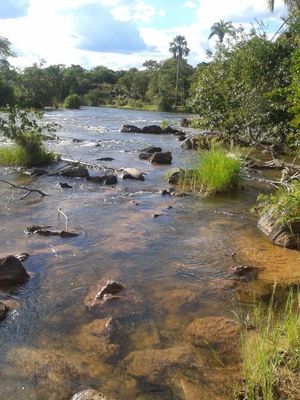
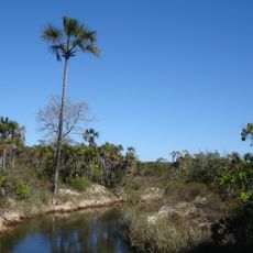
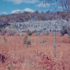
Cocos is a municipality in western Bahia located on elevated terrain at approximately 825 meters above sea level. The town functions as an administrative center for the surrounding region.
The municipality developed from an early settlement in northeastern Brazil and grew over time. The local population has maintained and expanded its presence across generations.
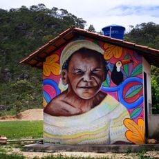
The residents of Cocos, known as coquenses, maintain their local traditions while adapting to modern municipal administrative structures in northeastern Brazil.
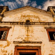
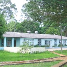
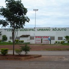
The local town administration is located in the downtown area and serves as a point of contact for various administrative services. Visitors should expect a rural setting with typical infrastructure found in smaller Brazilian towns.
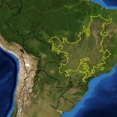
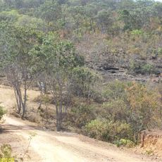
The municipality shares borders with nine neighboring regions, making it a junction point with complex regional connections. This central location shapes its importance as a crossroads between multiple administrative districts.
Location: Bahia
Elevation above the sea: 825 m
Shares border with: Jaborandi, Coribe, Bonito de Minas, Chapada Gaúcha, Feira da Mata, Formoso, Januária, Montalvânia, Sítio d'Abadia
Website: http://cocos.ba.gov.br
GPS coordinates: -14.18389,-44.53389
Latest update: December 7, 2025 19:28
Cerrado
340.8 km
Chapada dos Veadeiros National Park
338.4 km
Cavernas do Peruaçu National Park
106.9 km
Águas Emendadas Ecological Station
364.5 km
Grande Sertão Veredas National Park
172.9 km
Terra Ronca State Park
209.8 km
Matriz de Nossa Senhora da Imaculada Conceição
99.7 km
Bisnau Archaeological Site
335.1 km
Itiquira Falls
341 km
Cavernas do Peruaçu Environmental Protection Area
95.3 km
Bona Espero
332.9 km
Gruta do Janelão
108.5 km
Cachoeira do Bisnau
304.6 km
Caminho dos Gerais State Park
186 km
Cataratas dos Couros
348 km
Lagoa do Cajueiro State Park
109.1 km
Reserva Extrativista do Recanto das Araras de Terra Ronca
202.9 km
Cathedral of the Sacred Heart of Jesus, Janaúba
223.1 km
Cachoeira Santa Bárbara
327.7 km
Rio Peruaçu canyon
107.6 km
Cachoeira de Santa Bárbara
327.7 km
Estádio Municipal Urbano Adjuto
351.3 km
Igreja Matriz
295 km
Cachoeira do Segredo
357.1 km
Cachoeira das Sete Quedas
347.7 km
Cachoeira do Córrego Almécegas II
331.4 km
Quilombo Kalunga
316.8 km
Cathedral of St John the Baptist in Barreiras
232.2 kmVisited this place? Tap the stars to rate it and share your experience / photos with the community! Try now! You can cancel it anytime.
Discover hidden gems everywhere you go!
From secret cafés to breathtaking viewpoints, skip the crowded tourist spots and find places that match your style. Our app makes it easy with voice search, smart filtering, route optimization, and insider tips from travelers worldwide. Download now for the complete mobile experience.
A unique approach to discovering new places❞
— Le Figaro
All the places worth exploring❞
— France Info
A tailor-made excursion in just a few clicks❞
— 20 Minutes