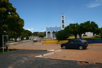
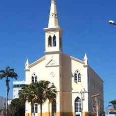
São Desidério, Municipality in western Bahia, Brazil.
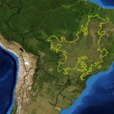
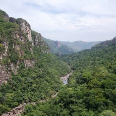
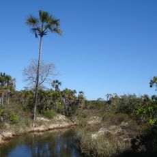
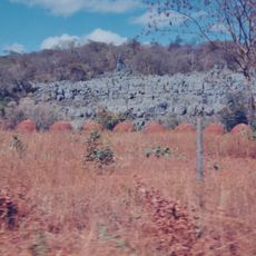
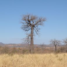
São Desidério is a municipality in western Bahia with vast agricultural lands forming the foundation of its landscape. The terrain varies across the region as farming settlements and natural areas intermingle throughout.
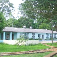
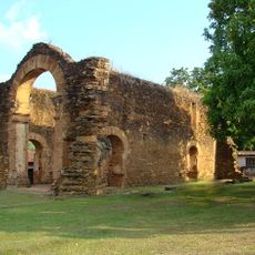
The municipality developed as an agricultural center and became one of Bahia's largest administrative areas over time. This growth reflects how rural regions expanded and consolidated their importance.
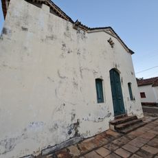
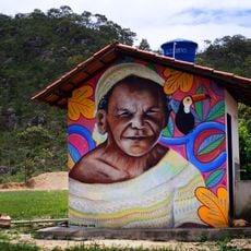
Agriculture shapes daily life here, with small-scale farming visible throughout the landscape and in how communities organize their spaces. This rural character influences local traditions and how people spend their time outdoors.
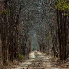
Visiting is easier during the drier season when roads and natural areas are more accessible. Preparing ahead for the rural setting and available services is important for a smooth trip.
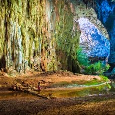
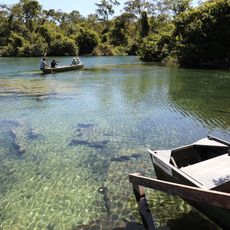
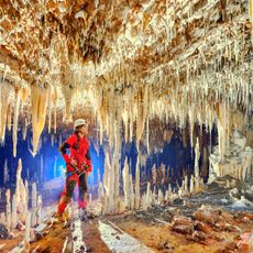
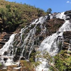
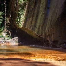
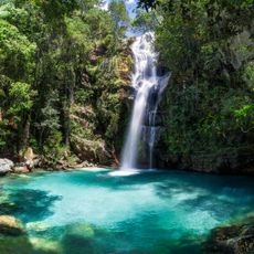
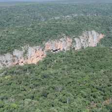
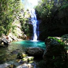
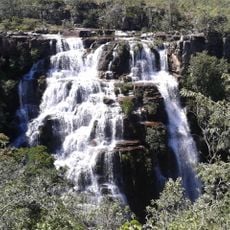
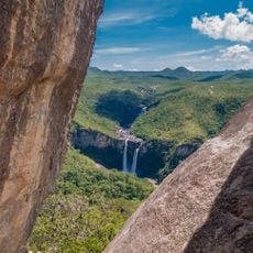
An underground river feeds Lagoa Azul with deep waters hidden within the municipal park. This hidden geological feature makes the park a destination that many travelers overlook.
The community of curious travelers
AroundUs brings together thousands of curated places, local tips, and hidden gems, enriched daily by 60,000 contributors worldwide.