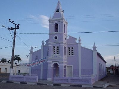
Santa Rita de Cássia, Administrative municipality in western Bahia, Brazil.
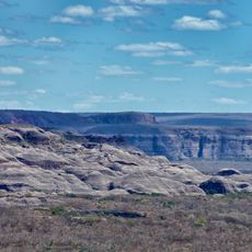
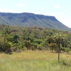
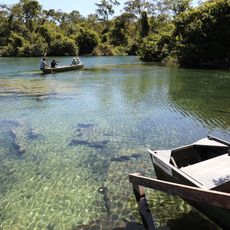
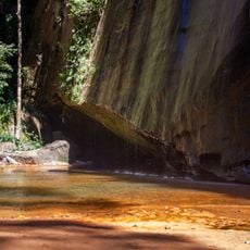
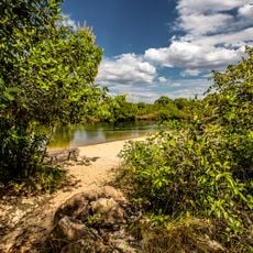
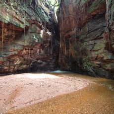
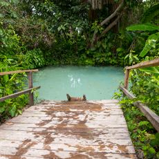
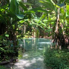
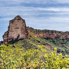
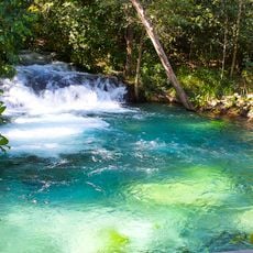
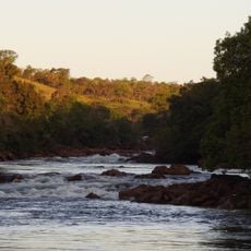
Santa Rita de Cássia is a municipality in west-central Bahia with a large rural territory crossed by the Rio Preto river flowing from west to east. The landscape features rolling hills and river valleys dotted with native vegetation typical of the region.
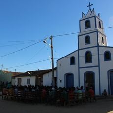
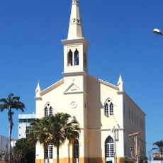
The settlement began in the 1600s when cattle herders arrived in the region and established farming communities. This ranching activity laid the foundation for the area to become a formal municipality in 1840.
The municipality maintains agricultural roots through family farming and the production of regional goods like liqueurs and sweets made by local artisans. These crafts form an important part of how people here earn their livelihood and connect with each other.
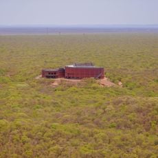
The municipality sits at moderate elevation in a rural area, several hundred kilometers from major urban centers, so travel requires planning ahead. Road access varies with the rainy and dry seasons, so timing your visit to the drier months can make getting around easier.
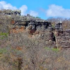
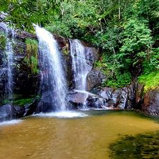
Two different native plant environments meet and blend here, creating an unusual ecological zone that visitors rarely expect to find in a single municipality. The hills and valleys display elements from both ecosystems side by side in ways that make the landscape quite distinctive.
Location: Bahia
Elevation above the sea: 440 m
Shares border with: Cotegipe, Formosa do Rio Preto, Sebastião Barros, Cristalândia do Piauí, Júlio Borges, Mansidão, Parnaguá, Riachão das Neves
Website: https://santaritadecassia.ba.gov.br
GPS coordinates: -11.00889,-44.51889
Latest update: December 7, 2025 19:23
Serra da Capivara National Park
338.5 km
Jalapão
293.1 km
Manuscript 512
227.1 km
Pedra Furada
324.2 km
Serra das Confusões National Park
242.8 km
Museu do Homem Americano
296.8 km
Nascentes do Rio Parnaíba National Park
231 km
Serra Geral do Tocantins Ecological Station
229.9 km
Gruta da Torrinha
326.2 km
Museum of American Man
296.8 km
Capivara-Confusões Ecological Corridor
318.5 km
Fervedouro dos Buritis
228.2 km
Canion Encantado
296.2 km
Prainha do Rio Novo
246.1 km
Cânion do Sussuapara
322.5 km
Fervedouro do Soninho
229.3 km
Fervedouro Bela Vista
249.5 km
Fervedouro do Ceiça
230.5 km
Cachoeira da Velha
271.8 km
Sítio Pedra Furada
239.2 km
Serra da Catedral do Jalapão
277.3 km
Cachoeira do Formiga
226.4 km
Quilombo Igarité
148.5 km
Cathedral of St John the Baptist in Barreiras
137.2 km
Praia do Rio Novo
271.8 km
Cachoeira do Lajeado
304.9 km
Museu da Natureza
325.2 km
Pedra Furada
313.7 kmVisited this place? Tap the stars to rate it and share your experience / photos with the community! Try now! You can cancel it anytime.
Discover hidden gems everywhere you go!
From secret cafés to breathtaking viewpoints, skip the crowded tourist spots and find places that match your style. Our app makes it easy with voice search, smart filtering, route optimization, and insider tips from travelers worldwide. Download now for the complete mobile experience.
A unique approach to discovering new places❞
— Le Figaro
All the places worth exploring❞
— France Info
A tailor-made excursion in just a few clicks❞
— 20 Minutes