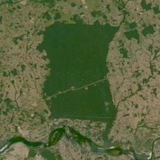
Dom Eliseu, Municipal administrative center in southeastern Pará, Brazil
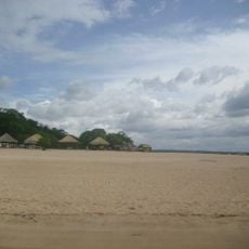
Dom Eliseu is the administrative center in southeastern Pará. The municipality encompasses diverse terrain and functions as a regional hub connecting surrounding communities.
The city developed as an administrative unit during a period of territorial reorganization in northern Brazil. This growth occurred as part of broader expansion patterns in the region.
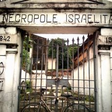
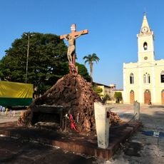
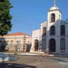
The community reflects the heritage of different groups who settled here and shaped local traditions. You can see these influences in celebrations and how people interact in daily life.
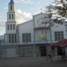
The municipality is connected to surrounding areas through a road network and serves as a regional commercial hub. Visitors will find typical services and facilities of an administrative center here.
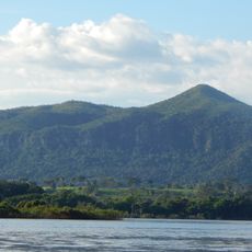
The town sits at a moderate elevation that influences living conditions and the local climate. This geographic position makes it naturally suited for serving as a regional connector.
Location: Pará
Elevation above the sea: 180 m
Shares border with: Ulianópolis, Rondon do Pará, Itinga do Maranhão, Açailândia, Goianésia do Pará, Paragominas
Website: http://domeliseu.pa.gov.br
GPS coordinates: -4.28500,-47.50500
Latest update: December 7, 2025 19:26
Marabá Combined Bridge
208.9 km
Mangal das Garças
333 km
Batista Campos Square
333 km
Cemetery Nossa Senhora da Soledade
333.3 km
Espaço São José Liberto
332.8 km
Pinho Mansion
333.4 km
Murutucu Plantation
332.2 km
Estádio Municipal Zinho de Oliveira
216.6 km
Monumento das Castanheiras Mortas
284 km
Terra Indígena Mãe Maria
182.7 km
Centro Cultural e Turístico Tancredo Neves
333.2 km
Gurupi Biological Reserve
102.2 km
Ponte Juscelino Kubitschek de Oliveira
253.3 km
Palacete Camelier
333.3 km
Belém Lighthouse
333 km
São Geraldo do Araguaia Environmental Protection Area
251.4 km
Puente Ferroviario de Estreito MA
253.1 km
Parakanã Indigenous Territory
303.6 km
Necrópole Israelita
333.2 km
Gems museum of Pará
332.8 km
Our Lady of the Conception Cathedral, Abaetetuba
324 km
Serra dos Martírios/Andorinhas State Park
235.7 km
Biblioteca Pública Municipal Orlando Lima Lobo
216.6 km
Cajàzeira River
242.4 km
Quilombo Moju-miri
322.6 km
Terra Indígena Barreirinha
150 km
Amazon Navigation Memorial
333.1 km
Catedral Nossa Senhora da Fátima, Imperatriz
138.8 kmVisited this place? Tap the stars to rate it and share your experience / photos with the community! Try now! You can cancel it anytime.
Discover hidden gems everywhere you go!
From secret cafés to breathtaking viewpoints, skip the crowded tourist spots and find places that match your style. Our app makes it easy with voice search, smart filtering, route optimization, and insider tips from travelers worldwide. Download now for the complete mobile experience.
A unique approach to discovering new places❞
— Le Figaro
All the places worth exploring❞
— France Info
A tailor-made excursion in just a few clicks❞
— 20 Minutes