
Engcobo Local Municipality, local municipality in the Eastern Cape, South Africa
Location: Chris Hani District Municipality
Inception: December 5, 2000
Elevation above the sea: 755 m
GPS coordinates: -31.66670,28.00000
Latest update: March 2, 2025 23:49
N2 road
77.1 km
Hole-in-the-Wall, Eastern Cape
112.9 km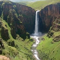
Maletsunyane Falls
200.3 km
Albany
228.1 km
Sehlabathebe National Park
223 km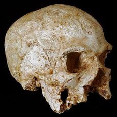
Hofmeyr Skull
193.1 km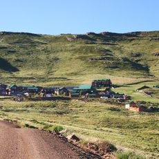
Ben Macdhui
113.6 km
Magwa Falls
157.4 km
East London Museum
148.5 km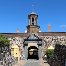
Fort Cox
152.7 km
Amathole Museum
146.4 km
Umtamvuna Nature Reserve
218 km
Dutch Language Monument
175.5 km
Amazwi South African Museum of Literature
229.3 km
Great Fish River Nature Reserve
180.8 km
Ntaba kaNdoda
150.5 km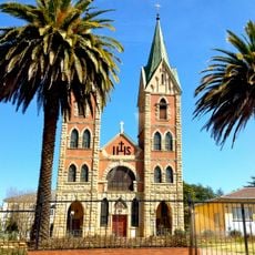
St. Patrick’s Cathedral, Kokstad
184.2 km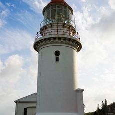
Hood Point Lighthouse
153.3 km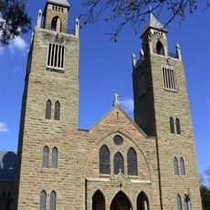
Aliwal North Sacred Heart Cathedral
163.5 km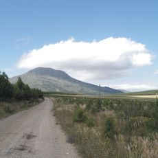
Gaika’s Kop
139.3 km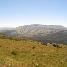
Elandsberg
140.2 km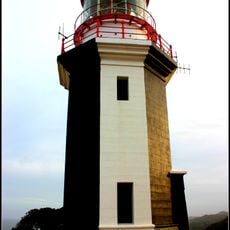
Great Fish Point Lighthouse
222.7 km
Ann Bryant Art Gallery
148.8 km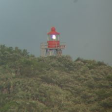
Kaap Morgan-vuurtoring
120.8 km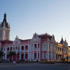
East London City Hall
150.3 km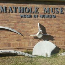
Amathole Museum Trends
146.8 km
Mpongo Private Game Reserve
134.2 km
Sam Knott Nature Reserve
193.3 kmReviews
Visited this place? Tap the stars to rate it and share your experience / photos with the community! Try now! You can cancel it anytime.
Discover hidden gems everywhere you go!
From secret cafés to breathtaking viewpoints, skip the crowded tourist spots and find places that match your style. Our app makes it easy with voice search, smart filtering, route optimization, and insider tips from travelers worldwide. Download now for the complete mobile experience.

A unique approach to discovering new places❞
— Le Figaro
All the places worth exploring❞
— France Info
A tailor-made excursion in just a few clicks❞
— 20 Minutes