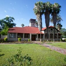
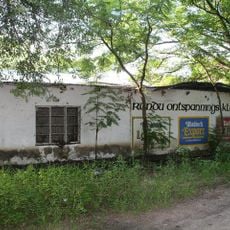
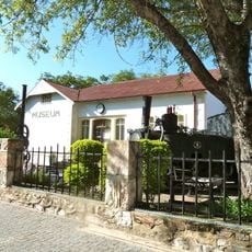
Rundu, human settlement in Namibia
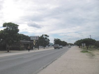
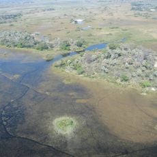
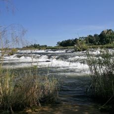
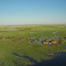
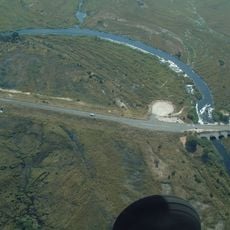
Rundu is a border town in the Kavango East Region along the Okavango River in northeastern Namibia. The settlement spreads across flat land with mixed architecture, local markets, and small shops, all centered around the river that defines its character.
Rundu was established in 1936 as an administrative center and later shaped by racial segregation during apartheid. After 1990, the town grew rapidly as refugees and villagers from Angola arrived following Namibia's independence.
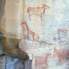
Rundu is shaped by the Kavango people, whose traditions remain visible through local crafts, music, and community gatherings. At the markets and along the riverbanks, you can see how these customs are part of daily life here.
Rundu is small enough to explore on foot and has basic services like a bank, supermarket, and fuel station. Fill up here before continuing your journey, as the next petrol station is far away in Katima Mulilo.
Rundu is known for its wood carvings made and sold by local artisans at the markets. These handmade objects reflect traditional skills passed down through generations of craftspeople.
The community of curious travelers
AroundUs brings together thousands of curated places, local tips, and hidden gems, enriched daily by 60,000 contributors worldwide.