Kavango Region, Former administrative region in northern Namibia
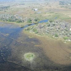
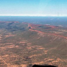
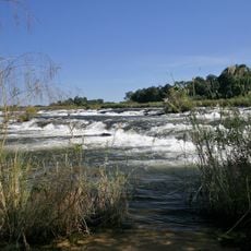
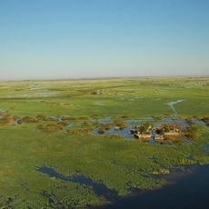
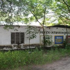
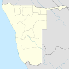
The Kavango Region was a former administrative region in northern Namibia, running along the border with Angola and shaped largely by the Kavango River. Forests and farmland covered much of the territory, with most settlements built close to the river and its water supply.
The area was administered as a single unit during the colonial period and remained so after Namibian independence until 2013. That year, the government divided it into Kavango East and Kavango West, each now functioning as a separate region.
Communities along the Kavango River have long been known for their woodcarving tradition, and local craftspeople sell furniture and carved figures in village markets. Walking through the area, visitors can see this craft practiced openly and buy pieces directly from the makers.
The main road through the former region connected Rundu to Grootfontein and gave access to the largest towns. Side roads leading to villages and farmland can be in poor condition, so planning ahead and checking conditions before setting out is a good idea.
The Kavango Region was one of the rainiest parts of Namibia, which made farming and forestry viable in a country that is otherwise largely dry. This higher rainfall also meant that the population here was denser than in most other parts of the country.
The community of curious travelers
AroundUs brings together thousands of curated places, local tips, and hidden gems, enriched daily by 60,000 contributors worldwide.