
Kgetlengrivier Local Municipality, local municipality in North West, South Africa
Location: Bojanala Platinum District Municipality
Inception: December 5, 2000
Capital city: Koster
Elevation above the sea: 1,333 m
GPS coordinates: -25.75000,26.83330
Latest update: April 22, 2025 21:46
Cradle of Humankind
86.5 km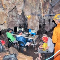
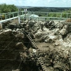
Rising Star Cave
97 km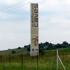
Sterkfontein
95 km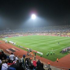
Royal Bafokeng Stadium
38 km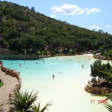
Valley of Waves
52.5 km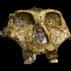
Swartkrans
135.9 km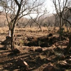
Malapa Fossil Site, Cradle of Humankind
98.3 km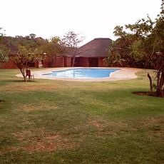
Dikhololo Game Reserve
98.5 km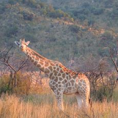
Pilanesberg National Park
60.7 km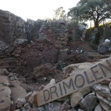
Drimolen
95.6 km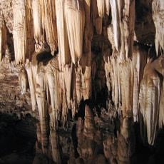
Wonder Cave
97.1 km
Kromdraai fossil site
97.8 km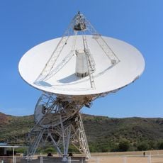
Hartebeesthoek Radio Astronomy Observatory
86.8 km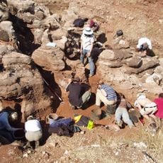
Gladysvale Cave
93.4 km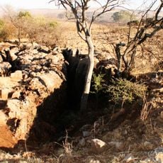
Coopers Cave
96.1 km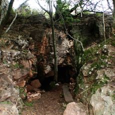
Plovers Lake
97.8 km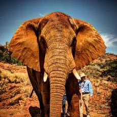
The Elephant Sanctuary Hartbeespoort Dam
97.7 km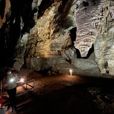
Grottes de Sterkfontein
94.9 km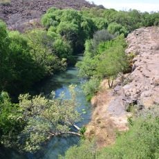
Magaliesberg Biosphere Reserve
77.4 km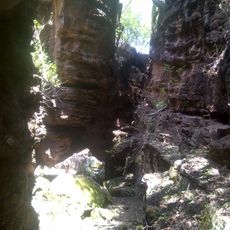
Abe Bailey Nature Reserve
79.7 km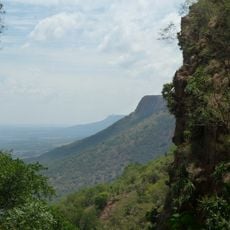
Magaliesberg Protected Natural Environment
76.5 km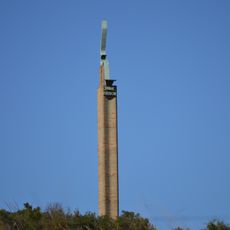
Danie Theron Monument
98.7 km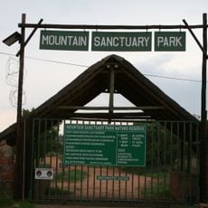
Mountain Sanctuary Park
64.5 km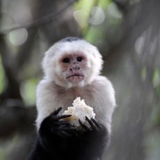
Monkey Sanctuary, Hartbeespoort in South Africa
97.4 km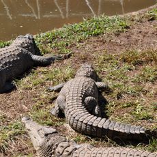
Kwena Gardens Crocodile Farm
51.7 km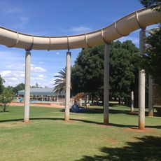
Lichtenburg Vakansieoord
78.8 km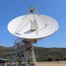
HartRAO 26m Radio Telescope
86.8 km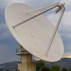
MeerKAT prototype dish
86.7 kmReviews
Visited this place? Tap the stars to rate it and share your experience / photos with the community! Try now! You can cancel it anytime.
Discover hidden gems everywhere you go!
From secret cafés to breathtaking viewpoints, skip the crowded tourist spots and find places that match your style. Our app makes it easy with voice search, smart filtering, route optimization, and insider tips from travelers worldwide. Download now for the complete mobile experience.

A unique approach to discovering new places❞
— Le Figaro
All the places worth exploring❞
— France Info
A tailor-made excursion in just a few clicks❞
— 20 Minutes