Geography of Zimbabwe, Geographic region in southern Africa
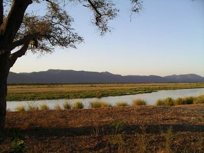
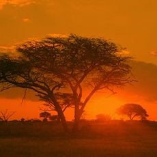
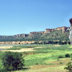
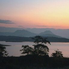
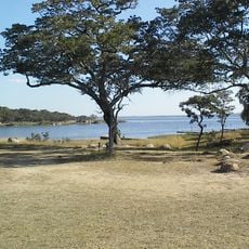
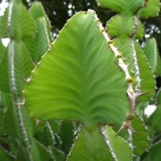
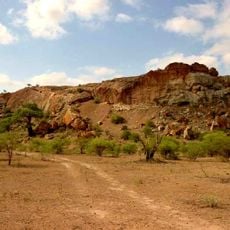
Zimbabwe is a country in southern Africa featuring broad plateaus, mountains, valleys, and grasslands spread across its interior. The terrain varies significantly between its borders, creating distinct ecological zones and diverse landscapes throughout the region.
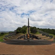
The region fell under British colonial control in the late 1800s through the British South Africa Company. Independence came in 1980 after a significant struggle for self-determination.
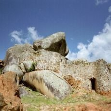
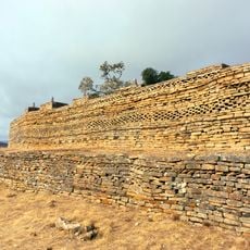
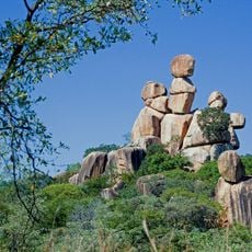
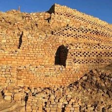
The Eastern Highlands contain multiple archaeological sites and ancient rock formations that provide evidence of early human settlements and traditional practices.
The country has a subtropical climate with a rainy season from November to March when water availability and vegetation change significantly. Plan your travels based on the region and season, as conditions vary considerably across the landscape.
The Great Dyke runs through the country from north to south, containing substantial deposits of platinum, chromium, and other valuable minerals. This geological feature is a remarkable characteristic that draws the attention of geologists and nature enthusiasts.
The community of curious travelers
AroundUs brings together thousands of curated places, local tips, and hidden gems, enriched daily by 60,000 contributors worldwide.