
Lower Mguza dam, reservoir in Zimbabwe
Location: Matabeleland North Province
Elevation above the sea: 1,239 m
GPS coordinates: -20.03222,28.53556
Latest update: June 5, 2025 20:57
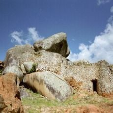
Great Zimbabwe
252 km
Matobo National Park
57.7 km
Kubu Island
299.1 km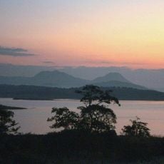
Lake Mutirikwe
262.1 km
Alfred Beit Road Bridge
286.8 km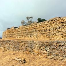
Naletale
105.5 km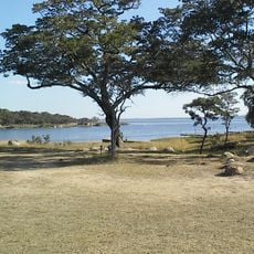
Lake Chivero
335.7 km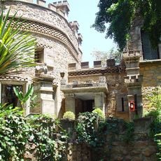
Nesbitt Castle
19.5 km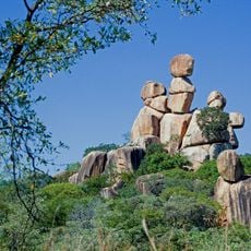
Matobo Hills
52.2 km
Khama Rhino Sanctuary
309.3 km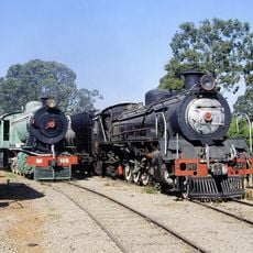
Bulawayo Railway Museum
15.2 km
Lake Chivero Recreational Park
334.5 km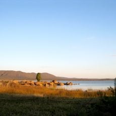
North-South Carrier
219.1 km
Nata Bird Sanctuary
240.8 km
Natural History Museum of Zimbabwe
15.2 km
Paisaje cultural de Mapungubwe
276.8 km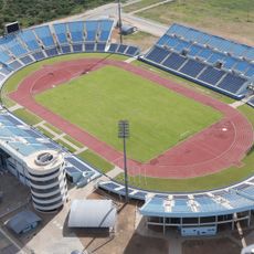
Francistown Stadium
165.7 km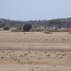
Thuli Parks and Wildlife Land
224.2 km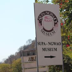
Supa Ngwao Museum
165.9 km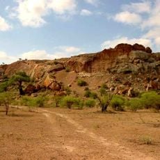
Venetia Limpopo Nature Reserve
262.1 km
Antelope Game Park
136.6 km
Northern Tuli Game Reserve
244.8 km
Elephant Castle Area
272.7 km
Water World
18.5 km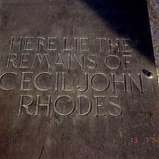
Rhodes Grave
51.4 km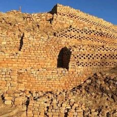
Ruines de Khami
17.1 km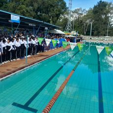
Borrow Street Swimming Pool
15.1 km
Painted Dog Conservation Centre
224.6 kmReviews
Visited this place? Tap the stars to rate it and share your experience / photos with the community! Try now! You can cancel it anytime.
Discover hidden gems everywhere you go!
From secret cafés to breathtaking viewpoints, skip the crowded tourist spots and find places that match your style. Our app makes it easy with voice search, smart filtering, route optimization, and insider tips from travelers worldwide. Download now for the complete mobile experience.

A unique approach to discovering new places❞
— Le Figaro
All the places worth exploring❞
— France Info
A tailor-made excursion in just a few clicks❞
— 20 Minutes