Tete, city in Mozambique
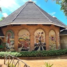
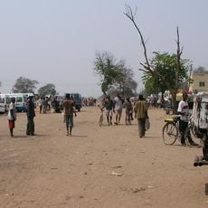
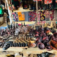
Tete is a city in Tete Province, Mozambique, that stretches along the Zambezi River and serves as a regional trading hub. Colonial buildings line the streets while bustling markets offer fresh produce, fruits, and local crafts that reflect the rhythm of daily commerce.
Tete was founded as an important trading post on the Zambezi River and served as an administrative center during Portuguese colonial rule. The city retained its importance as a transportation hub and later became a center for mining and economic development in the region.
Tete's Nyau dance tradition passes down local stories and customs through movement and performance across generations. This cultural practice connects the different ethnic communities that live in the city and shapes how people celebrate their identity and history together.
The city is walkable and best explored by local minibuses or motorcycle taxis. April to October are the most comfortable months to visit, when heat is less intense and the air is drier, making walking and exploring easier.
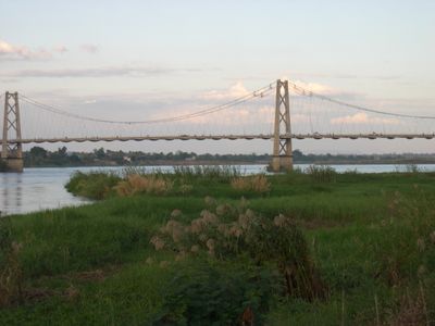
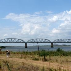
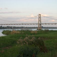
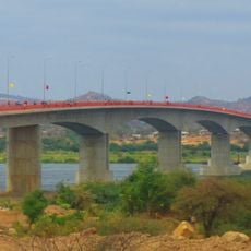
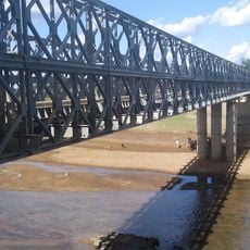
The Samora Machel Bridge is the city's notable structure where people gather in the evening to watch the sunset and observe river traffic. This bridge connects parts of the city while serving as a social gathering point where locals and visitors enjoy views of the water and boat activity.
The community of curious travelers
AroundUs brings together thousands of curated places, local tips, and hidden gems, enriched daily by 60,000 contributors worldwide.