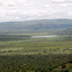
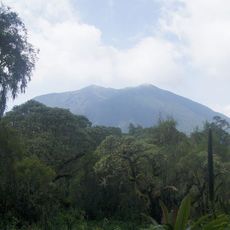
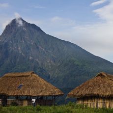
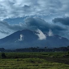
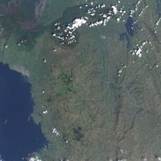
Geography of Rwanda, Mountainous terrain in East Africa.
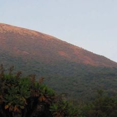
Rwanda is a country in East Africa marked by mountainous terrain in the west transitioning to rolling hills in the east. The land contains numerous lakes, including Lake Kivu, and is crossed by rivers that flow toward different major basins.
The country's borders were drawn by European colonial powers in the early 1900s and have remained unchanged since then. These boundaries established its current landlocked status, which has shaped its development over time.
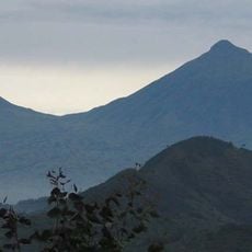
The landscape shapes how people live and work across the country. Hillside communities practice terrace farming to grow coffee, tea, and beans while managing the steep terrain they call home.
The land is predominantly hilly and mountainous, which can be physically demanding for visitors exploring on foot, especially in elevated areas. Being prepared for changing elevations and weather conditions will help make the experience more comfortable.
The country sits at a watershed where water flows toward two major river systems in opposite directions, with most flowing northward. This hidden water divide shapes drainage patterns across the entire landscape.
The community of curious travelers
AroundUs brings together thousands of curated places, local tips, and hidden gems, enriched daily by 60,000 contributors worldwide.