Mount Muhabura, Extinct volcano in Virunga Mountains, Rwanda.
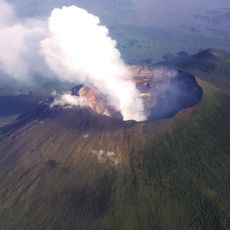
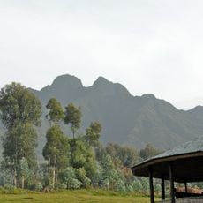
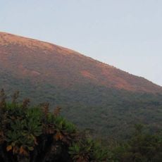
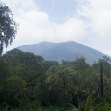
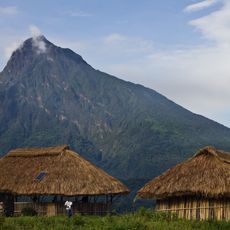
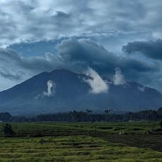
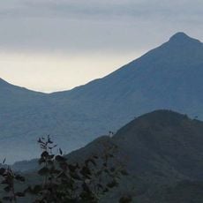
Mount Muhabura is an inactive volcano on the Rwanda-Uganda border, the third highest of the eight Virunga volcanoes at 4,127 metres. Its cone has regular, steep slopes and is joined to the west to Mount Gahinga, separated by a swamp from the Kabiranyuma River. The summit is crowned by the Kabiranjuma crater, which holds a small lake forty metres in diameter.
Mount Muhabura's last eruption is placed in the Holocene, though the exact date is unknown. The Smithsonian Institution notes that a small parasitic crater near the volcano was active "recently", again without a date. The summit cone is built of basanitic and trachyandesitic lavas, and the Kabiranjuma crater at the top holds a small lake 40 metres across.
The name Muhabura comes from Kinyarwanda and means "The Guide". Its height and characteristic slope make it visible from many parts of Rwanda and Uganda, so it serves as a landmark for orientation across the region. The summit crater lake is called Kabiranjuma and measures about forty metres across.
Access to the mountain is through the national park system, with hikes beginning early in the morning and lasting the entire day. Visitors should prepare for changing weather conditions and varying plant zones as they climb higher.
The summit crater, Kabiranjuma, holds a lake only about forty metres across. The volcano's name means "The Guide" in Kinyarwanda, and its height and regular slope make it visible from many parts of Rwanda and Uganda. Its northern flank lies in Uganda's Mgahinga Gorilla National Park, the southern in Rwanda's Volcanoes National Park.
The community of curious travelers
AroundUs brings together thousands of curated places, local tips, and hidden gems, enriched daily by 93,198 contributors worldwide.