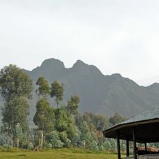
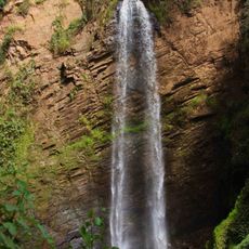
Virunga Mountains, Volcanic mountain range in East Africa, Democratic Republic of the Congo and Rwanda.
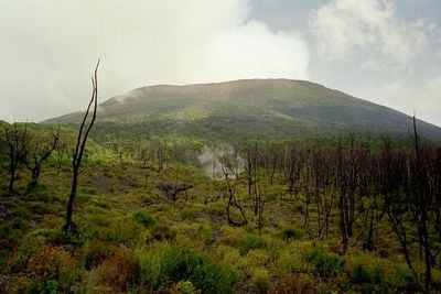
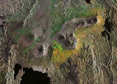
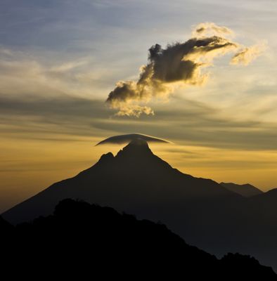
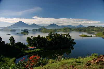
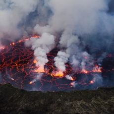
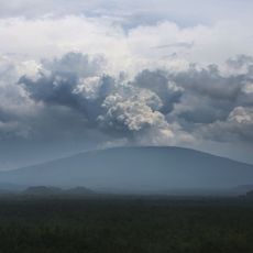
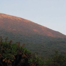
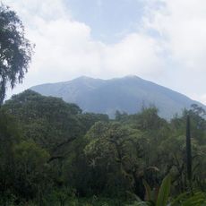
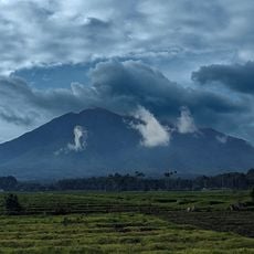
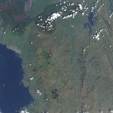
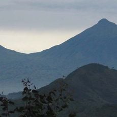
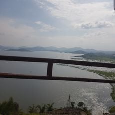
The Virunga Mountains consist of eight volcanoes that stretch over about 80 kilometers between Lake Kivu and Lake Edward, crossing the border between the Democratic Republic of the Congo and Rwanda. The range is defined by several peaks, with Karisimbi standing as the highest point at 4,507 meters, while Nyiragongo and Nyamuragira remain geologically active.
The mountain range was first documented by European explorers in the mid-1800s, with John Hanning Speke recording it in 1861. Later expeditions, including Henry Morton Stanley's journey in 1876, added to the geographic knowledge of this volcanic region.
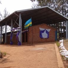
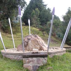
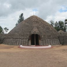
The mountain range takes its name from the Kinyarwanda word 'ibirunga,' which the local population uses to describe these volcanic formations. The name reflects how deeply rooted the landscape is in the everyday language and identity of people living nearby.
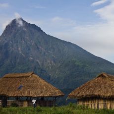
The range is accessible from several points depending on which volcano or peak you plan to visit. Travelers should be prepared for changing elevation, mountain weather, and rough terrain, as conditions and access routes vary by season and location.
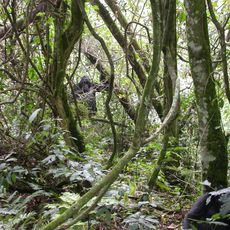
The mountains are home to one of the last populations of mountain gorillas living in this highland ecosystem. The Karisoke Research Center, located between Karisimbi and Bisoke, has spent decades studying these primates and advancing protection efforts for this endangered species.
The community of curious travelers
AroundUs brings together thousands of curated places, local tips, and hidden gems, enriched daily by 60,000 contributors worldwide.