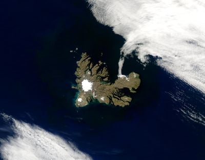
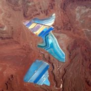
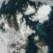
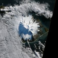
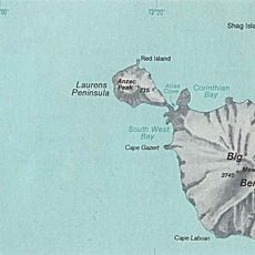
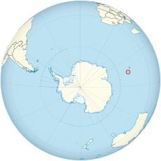
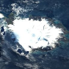
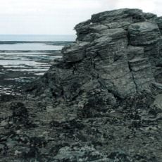
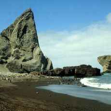
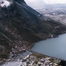
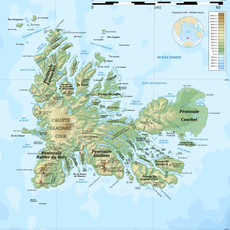
Grande-Terre, Volcanic island in Kerguelen Archipelago, French Southern Territories
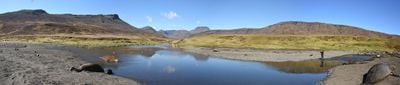
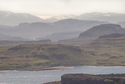
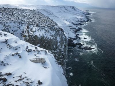
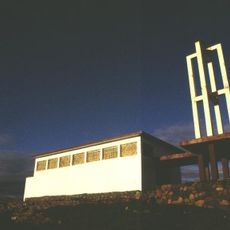
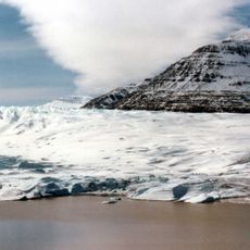
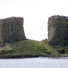
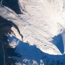
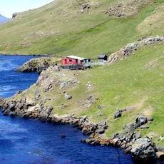
Grande-Terre is the largest island in the Kerguelen Archipelago and extends considerable distances from east to west as well as north to south. The landmass is shaped by volcanic formations and hosts the research port of Port-aux-Français as its only inhabited location.
The island was first documented in 1772 by French navigator Yves-Joseph de Kerguelen-Trémarec during an exploration mission across the region. This early discovery established French presence in this remote area of the southern Indian Ocean.
The research station at Port-aux-Français is shaped by a small international community of scientists living together in extreme isolation. Over time, residents have developed their own language called taafien, which reflects local terms and expressions.
The only regular access is via the supply ship Marion Dufresne, which maintains connections to Réunion multiple times per year. Visitors should prepare for extreme weather conditions, limited facilities, and extended travel routes.
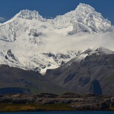
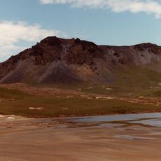
Mount Ross, rising above 1850 meters, was long the last unclimbed French peak and was first summited in 1973. This technically demanding ascent represents an important milestone in mountaineering history.
The community of curious travelers
AroundUs brings together thousands of curated places, local tips, and hidden gems, enriched daily by 60,000 contributors worldwide.