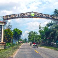
Sarolangun, Administrative regency in Jambi, Indonesia
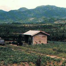
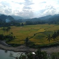
Sarolangun is an administrative regency located in Sumatra that extends across several districts with varying tropical terrain and geographical features. The region comprises multiple administrative centers that serve different areas and populations.
Sarolangun was established as an independent administrative region in 1999 following the division of previously unified territory. This separation created the foundation for the administrative structure that serves the region today.
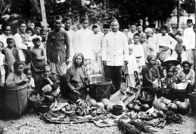
The local motto "Sepucuk Adat Serumpun Pseko" reflects how deeply rooted traditional customs are in the identity of the people. These values shape daily life and guide how communities maintain their social bonds.
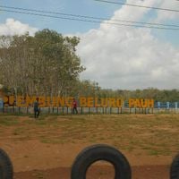
The region extends across multiple districts that are best explored through organized routes if you plan to visit different areas. Advance planning helps since infrastructure development varies depending on which districts you visit.
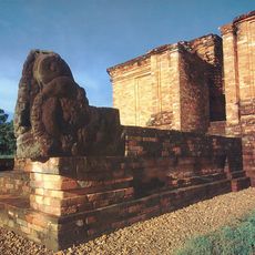
The region is known for integrating agricultural practices with modern administrative systems, offering insight into how rural areas organize themselves. This combination makes it an interesting example of where traditional ways of life meet administrative innovation.
Location: Jambi
Inception: October 4, 1999
Capital city: Sarolangun
Elevation above the sea: 91 m
Shares border with: Merangin, Tebo, Batang Hari, Musi Banyuasin, North Musi Rawas
GPS coordinates: -2.30000,102.65000
Latest update: December 7, 2025 10:07
Mount Kerinci
168.1 km
Dempo
198.2 km
Muaro Jambi Temple Compounds
142.8 km
Kerinci Seblat National Park
130.4 km
Fort Marlborough
171.4 km
Bung Karno Seclusion House
172.4 km
Tropical Rainforest Heritage of Sumatra
129.8 km
Prasasti Karang Berahi
33.4 km
Bukit Tigapuluh National Park
145.7 km
Mount Kaba
135.9 km
Fatmawati's house
171.8 km
Bukit Duabelas National Park
50.1 km
Gunung Masurai
84.5 km
Gentala Arasy Tower Museum
133.6 km
Thomas Parr Monument
171.6 km
Telun Berasap Falls
160.9 kmCandi Gumpung
145.6 km
Mount Kunyit
129.9 km
Serasan Sekate Stadium
147.4 km
Mount Tujuh
152.6 km
Belirang-Beriti
78.4 km
Ikhsaniyyah Mosque
132.5 km
Koto Baru Grand Mosque
199 km
Akbar At-Taqwa Grand Mosque
172.5 km
Mande Rubiah Museum
169.5 km
Masjid Tua Siguntur
192.2 km
Surau Menara
199.1 km
Mayang Club Waterpark
126.6 kmVisited this place? Tap the stars to rate it and share your experience / photos with the community! Try now! You can cancel it anytime.
Discover hidden gems everywhere you go!
From secret cafés to breathtaking viewpoints, skip the crowded tourist spots and find places that match your style. Our app makes it easy with voice search, smart filtering, route optimization, and insider tips from travelers worldwide. Download now for the complete mobile experience.
A unique approach to discovering new places❞
— Le Figaro
All the places worth exploring❞
— France Info
A tailor-made excursion in just a few clicks❞
— 20 Minutes