
Panjer, subdistrict in Denpasar City, Bali, Indonesia
Location: Denpasar Selatan
Elevation above the sea: 8 m
GPS coordinates: -8.68403,115.22637
Latest update: March 6, 2025 16:49
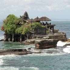
Tanah Lot
16.9 km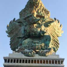
Big Vishnu
15.9 km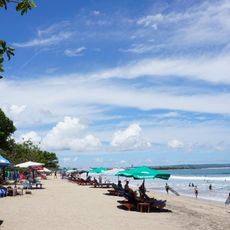
Pantai Kuta
7.5 km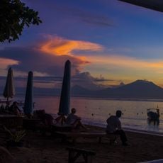
Sanur Beach
4.4 km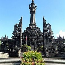
Bajra Sandhi Monument
1.6 km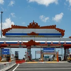
Bali Mandara Toll Road
9.7 km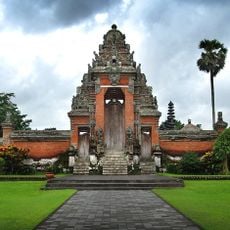
Pura Taman Ayun
16.9 km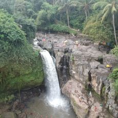
Tegenungan Waterfall
14 km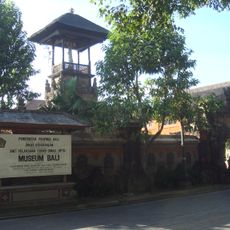
Bali Museum
5.5 km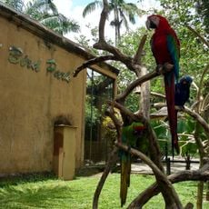
Bali Bird Park
9.7 km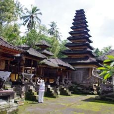
Pura Dalem Sakenan
4.6 km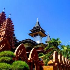
Holy Spirit Cathedral
1.2 km
Seminyak Beach
8.2 km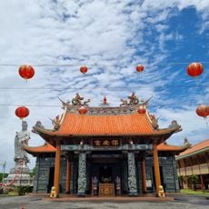
Satya Dharma Temple
4.3 km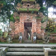
Agung Rai Museum of Art (ARMA)
18.4 km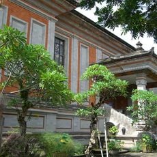
Museum Rudana
17.9 km
Waterbom Bali
7.9 km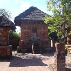
Pura Maospahit
3.8 km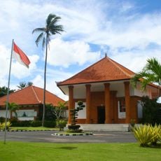
Museum Pasifika
12.9 km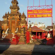
Kongco Pura Taman Gandasari
5 km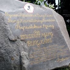
Museum Agung Bung Karno
1.3 km
Agung Rai Museum of Art
18.4 km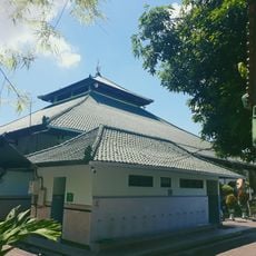
Sudirman Grand Mosque
2 km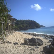
Bingin Beach
18.4 km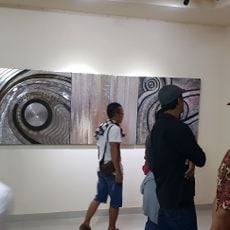
Museum Seni Batuan
12.5 km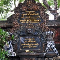
Pura Petitenget
8.1 km
Kumbasari Market
3.5 km
Balangan Viewpoint
16.2 kmReviews
Visited this place? Tap the stars to rate it and share your experience / photos with the community! Try now! You can cancel it anytime.
Discover hidden gems everywhere you go!
From secret cafés to breathtaking viewpoints, skip the crowded tourist spots and find places that match your style. Our app makes it easy with voice search, smart filtering, route optimization, and insider tips from travelers worldwide. Download now for the complete mobile experience.

A unique approach to discovering new places❞
— Le Figaro
All the places worth exploring❞
— France Info
A tailor-made excursion in just a few clicks❞
— 20 Minutes