
Panyaungan, village in Lebak Regency, Banten, Indonesia
Location: Cihara
Elevation above the sea: 66 m
GPS coordinates: -6.89111,106.15833
Latest update: April 4, 2025 16:41
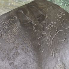
Ciaruteun inscription
71.5 km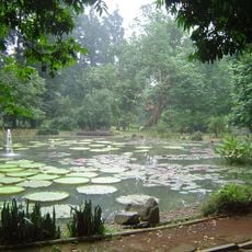
Bogor Botanical Gardens
78 km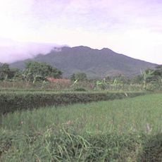
Mount Salak
67.1 km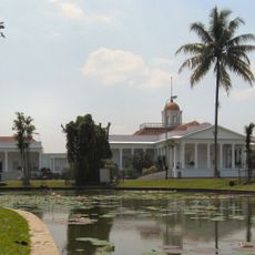
Bogor Palace
77.8 km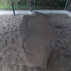
Kebon Kopi I inscription
71.4 km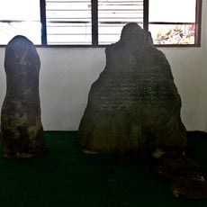
Batutulis inscription
77.8 km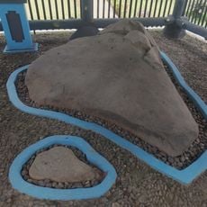
Jambu Inscription
55.9 km
Mount Halimun Salak National Park
37.3 km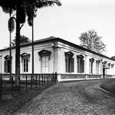
Bogor Zoology Museum
77.5 km
Gunung Karang
69.9 km
Pulosari
64.3 km
Ciletuh-Palabuhanratu Geopark
42.9 km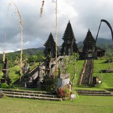
Pura Parahyangan Agung Jagatkarta
68.4 km
Gunung Halimun
38.1 km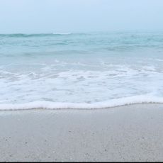
Sawarna Beach
19.5 km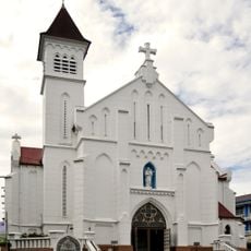
Bogor Cathedral
77.4 km
Museum Nasional Sejarah Alam Indonesia
77.4 km
Pantai Karangsari
74.9 km
Tanjung Lesung Beach
72.1 km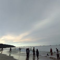
Palangpang
46.6 km
Museum Tanah dan Pertanian
77.7 km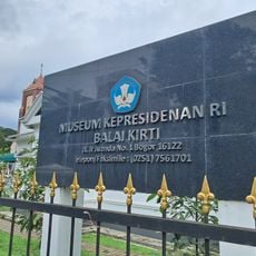
Museum Kepresidenan Republik Indonesia Balai Kirti
77.5 km
Masjid Carita
73 km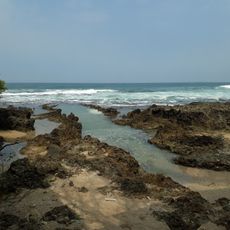
Pantai Cihara
10.8 km
Javana Spa
63.7 km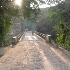
Gerendong Bridge
73 km
Masjid Caringin
69.9 km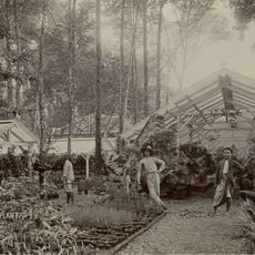
's Lands Plantentuin
78 kmReviews
Visited this place? Tap the stars to rate it and share your experience / photos with the community! Try now! You can cancel it anytime.
Discover hidden gems everywhere you go!
From secret cafés to breathtaking viewpoints, skip the crowded tourist spots and find places that match your style. Our app makes it easy with voice search, smart filtering, route optimization, and insider tips from travelers worldwide. Download now for the complete mobile experience.

A unique approach to discovering new places❞
— Le Figaro
All the places worth exploring❞
— France Info
A tailor-made excursion in just a few clicks❞
— 20 Minutes