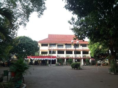
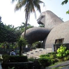
Durensawit, Administrative district in East Jakarta, Indonesia.
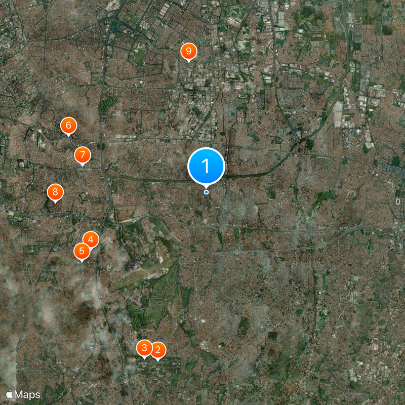
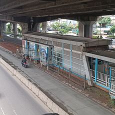
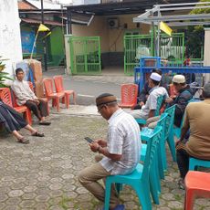
Durensawit is an administrative district in East Jakarta comprising seven villages, including Pondok Bambu, Duren Sawit, and Pondok Kelapa. The area is defined by natural waterways like Kali Sunter and Kali Malang, while the I Gusti Ngurah Rai road connects it to the surrounding neighborhoods.
The area was part of Jatinegara district until 1990, when it became independent through Presidential Decree. This separation reshaped the administrative structure of East Jakarta.
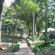
The area's name comes from durian trees and palm plantations that once dominated the landscape. This agricultural past remains woven into the district's identity today.
Getting around the district is easiest along the I Gusti Ngurah Rai road, which serves as a main connector for navigation. The river boundaries can help orient yourself if you want to explore specific villages within the area.
Despite its modern urban form today, the district sits only about 12 meters above sea level. This low elevation continues to influence how water flows and drains through the area.
The community of curious travelers
AroundUs brings together thousands of curated places, local tips, and hidden gems, enriched daily by 60,000 contributors worldwide.