
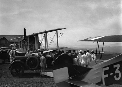
Kalijati, district in Subang Regency, West Java Province, Indonesia
Location: Subang
Elevation above the sea: 216 m
GPS coordinates: -6.52584,107.67671
Latest update: June 1, 2025 23:05
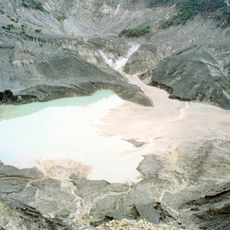
Tangkuban Perahu
26.8 km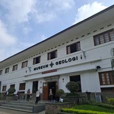
Bandung Geological Museum
42.2 km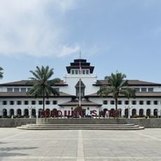
Gedung Sate
42.4 km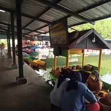
Lembang Floating Market
33.2 km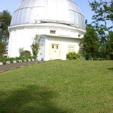
Bosscha Observatory
33.9 km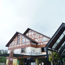
Lembang Park & Zoo
32.5 km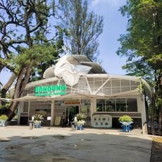
Bandung Zoo
41.3 km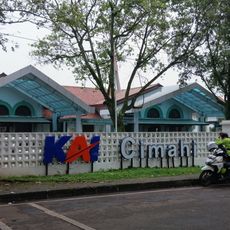
Cimahi railway station
43 km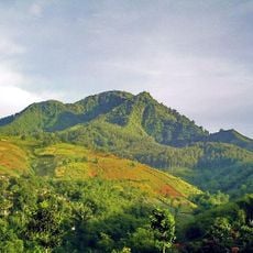
Gunung Manglayang
39.9 km
Pasupati Bridge
42.3 km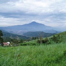
Gunung Tampomas
41.1 km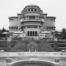
Villa Isola
38.4 km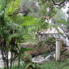
Maribaya Waterfall
34.1 km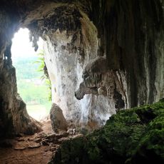
Gua Pawon
42.5 km
Gedung Sate Museum
42.4 km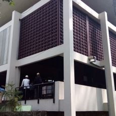
Salman ITB Mosque
41.6 km
Stone Garden
42.5 km
Museum Pendidikan Nasional Universitas Pendidikan Indonesia
38.3 km
Mount Parang
37.4 km
Barli Museum
40.5 km
NuArt Sculpture Park
40.8 km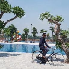
Oase Swimming Club
39.9 km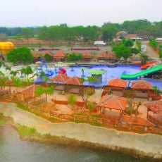
Ulin De Situ
11.9 km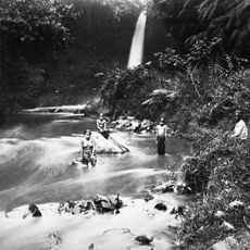
Dago Waterfall
38.5 km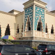
At-Taubah Mosque
39.1 km
Pustakalana Children's Library
42.6 km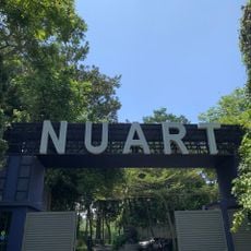
Museum Nuart Sculpture Park
40.7 km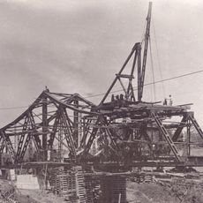
Cipunagara railway bridge
24.5 kmReviews
Visited this place? Tap the stars to rate it and share your experience / photos with the community! Try now! You can cancel it anytime.
Discover hidden gems everywhere you go!
From secret cafés to breathtaking viewpoints, skip the crowded tourist spots and find places that match your style. Our app makes it easy with voice search, smart filtering, route optimization, and insider tips from travelers worldwide. Download now for the complete mobile experience.

A unique approach to discovering new places❞
— Le Figaro
All the places worth exploring❞
— France Info
A tailor-made excursion in just a few clicks❞
— 20 Minutes