
Luwunggede, village in Tanjung District, Brebes Regency, Central Java, Indonesia
Location: Tanjung
Elevation above the sea: 11 m
GPS coordinates: -6.92139,108.83306
Latest update: March 13, 2025 15:51
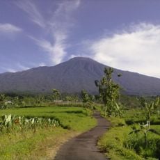
Gunung Slamet
55.5 km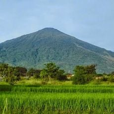
Mount Cereme
47.3 km
Palace Kasepuhan
36.2 km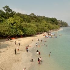
Pangandaran
87.9 km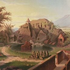
Gua Sunyaragi
38.4 km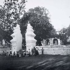
Kraton Kanoman
36.2 km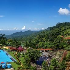
Baturraden
61.6 km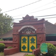
Great Mosque of Cirebon
36.3 km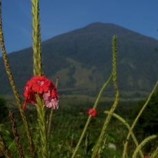
Mount Ciremai National Park
46.1 km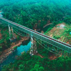
Cirahong Bridge
73.5 km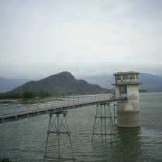
Malahayu Reservoir
13.1 km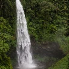
Curug Cipendok
57.2 km
Kraton Kacirebonan
36.8 km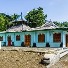
Saka Tunggal Mosque
66.2 km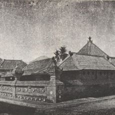
Red Mosque of Panjunan
37.2 km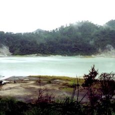
Gunung Telagabodas
90.8 km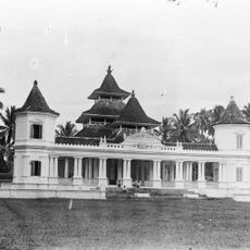
Manonjaya Grand Mosque
75.3 km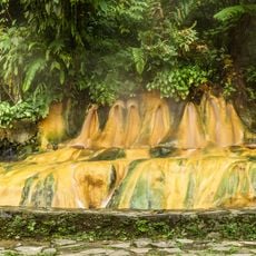
Pancuran Tujuh
60.7 km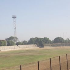
Bima Stadium
39.2 km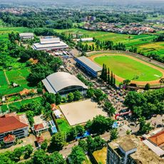
Satria Stadium
71.8 km
Galuh Stadium
69.9 km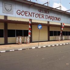
Goentoer Darjono Stadium
78.5 km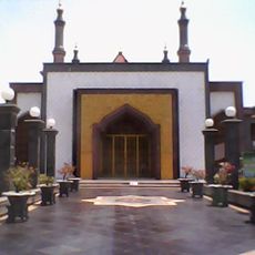
At-Taqwa Mosque, Cirebon
38.4 km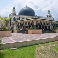
Great Mosque of Ciamis
69.8 km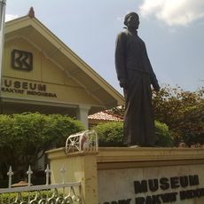
BRI Museum
70.8 km
Gunung Susuru Site
62.1 km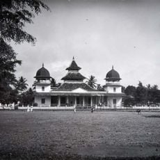
Great Mosque of Tasikmalaya
81.3 km
Museum Gedung Perundingan Linggarjati
39.8 kmReviews
Visited this place? Tap the stars to rate it and share your experience / photos with the community! Try now! You can cancel it anytime.
Discover hidden gems everywhere you go!
From secret cafés to breathtaking viewpoints, skip the crowded tourist spots and find places that match your style. Our app makes it easy with voice search, smart filtering, route optimization, and insider tips from travelers worldwide. Download now for the complete mobile experience.

A unique approach to discovering new places❞
— Le Figaro
All the places worth exploring❞
— France Info
A tailor-made excursion in just a few clicks❞
— 20 Minutes