Enable Location

We need your location to show you interesting places around you

Discover nearby places

Find interesting locations and hidden gems around you

Precise directions

Get accurate directions and distances to places

Your location is never shared with other users. It's only used when you tap the location button.

Pejagoan

Log in to your account

Start exploring — it's free

Trusted by 62,844 travelers worldwide

Continue with Google
Continue with Apple
or

We will send you a code to connect

By continuing, you accept our Terms and Conditions and our Privacy Policy

Check your inbox

We've sent a pincode in your inbox. Please enter the code below.

Pejagoan

Pejagoan, Administrative district in Kebumen, Indonesia

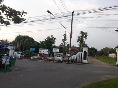
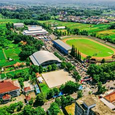
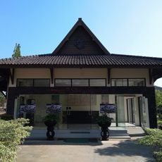
Pejagoan is an administrative district in Kebumen, Central Java, spanning multiple villages with rice fields and rural settlements across its landscape. The area is characterized by gentle hills and basic infrastructure serving local administration and commerce.

The area was originally part of Karanganyar Regency and later became an independent administrative division of Kebumen in Central Java. This reorganization shaped the modern structure and administrative boundaries of the region.

Residents practice traditional agriculture with rice cultivation and hold regular local market events in their communities. These activities shape daily life and social connections throughout the region.

The administrative center is located close to Kebumen city, making it easy to reach urban services and markets. Public transport connects the various villages to administrative and commercial centers.

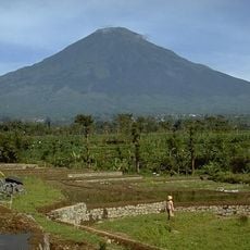
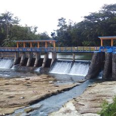
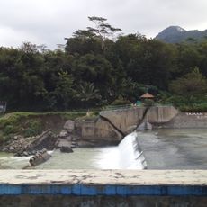
Mount Pranji rises as the most prominent elevation between Pengaringan and Watulawang villages and dominates the landscape from multiple vantage points. Its position serves as a natural landmark for visitors exploring the region's topography.

The community of curious travelers

AroundUs brings together thousands of curated places, local tips, and hidden gems, enriched daily by 60,000 contributors worldwide.

Start exploring
Location
Elevation above the sea
180 m
GPS coordinates
-7.62722,109.64500
Latest update
December 12, 2025 09:08
« Pejagoan - Administrative district in Kebumen, Indonesia » is provided by Around Us (aroundus.com). Images and texts are derived from Wikimedia project under a Creative Commons license. You are allowed to copy, distribute, and modify copies of this page, under the conditions set by the license, as long as this note is clearly visible.

Discover hidden gems everywhere you go!

From secret cafés to breathtaking viewpoints, skip the crowded tourist spots and find places that match your style. Our app makes it easy with voice search, smart filtering, route optimization, and insider tips from travelers worldwide. Download now for the complete mobile experience.

Around Us App Screenshot

A unique approach to discovering new places

Le Figaro

All the places worth exploring

France Info

A tailor-made excursion in just a few clicks

20 Minutes

Around Us
Travel Guide & Maps
Download

Send to your phone

QR Code
1

Open the camera app on your mobile.

2

Point at the QR code with your camera. A notification will appear.

3

Tap the notification to open the link.