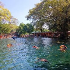
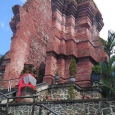
Ranu Pani, Volcanic lake in Senduro District, East Java, Indonesia.
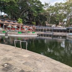
Ranu Pani is a mountain lake located within Bromo Tengger Semeru National Park in Senduro District. The water sits at about 2100 meters elevation and is surrounded by steep forested slopes.
During the colonial period a Dutch family managed the land that includes present-day Ranu Pani; the Ledeboer family held part of the Iyang-Argopuro Plateau in 1916. After Indonesian independence in 1945, settlers from Senduro, Singosari, Malang and Ngadas moved into the village. In 1999 Ranupani was separated from Argosari as a preparatory village under Lumajang Regency.
The residents of Ranu Pani, primarily Tengger tribe descendants, conduct annual traditional ceremonies including village purification rituals led by local shamans.
Ranu Pani sits at 2,100 m and is the last village and legal starting point for the climb to Mount Semeru (3,676 m). Hikers pass Ranu Regulo in the village and reach Ranu Kumbolo after about five hours on foot. Nights from June to September often drop below zero, with frequent frost.
In 1998 the lake was 12 metres deep; by 2013 its centre measured only 7 metres, largely because of sediment washed down from hillside farmland. In July 2011 volunteers cleared the invasive water fern Salvinia molesta that had covered the surface and disrupted the ecosystem.
The community of curious travelers
AroundUs brings together thousands of curated places, local tips, and hidden gems, enriched daily by 93,183 contributors worldwide.