Gunung Welirang, Active volcano in East Java, Indonesia
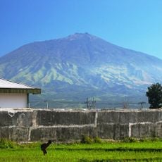
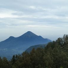
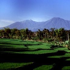
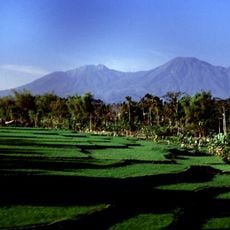
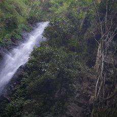
Gunung Welirang is a stratovolcano reaching 3,156 meters on the border of Batu, Pasuruan, and Mojokerto. Its summit lies on the same ridge as Gunung Arjuno, and the complex sits atop the older Ringgit and Lincing volcanoes. Fumarole areas and sulfur deposits occur at several points on its slopes.
The only recorded volcanic activity of Gunung Welirang took place in 1950, according to the Indonesian Wikipedia entry. The mountain is a stratovolcano in the Arjuno-Welirang complex, which sits atop the older Ringgit and Lincing volcanoes. Its name comes from the Javanese word welirang, meaning sulfur, and fumarole areas with sulfur deposits occur on its slopes.
The name derives from the Javanese word welirang, meaning sulfur, matching the fumarole areas and sulfur deposits on the slopes. The Tretes route passes a traditional sulfur mining area, where workers still extract sulfur by hand.
Official trailheads are at Tretes (Jl. Wilis 523, Prigen, Pasuruan), Sumber Brantas (Jl. Raya Sumber Brantas No. 246, Bumiaji, Batu), Tambaksari (Purwodadi, Pasuruan) and Lawang (Wonorejo, Malang). Tretes is the most used route and passes traditional sulfur mining areas. All hiking areas are managed by the Raden Soerjo Forest Park authority.
The last recorded volcanic activity was in 1950, not 1991; no source mentions Space Shuttle images. The Tretes trail, the most used route, passes through traditional sulfur mining areas, and the summit ridge is shared with Gunung Arjuno.
The community of curious travelers
AroundUs brings together thousands of curated places, local tips, and hidden gems, enriched daily by 93,185 contributors worldwide.