Chest opened
+${chestReward.xp} XP
Explorer
NOUVEAU ×${chestReward.collectible.quantity}
tapez pour fermer
Chest locked

Open chests in the app

Around Us is built for your phone — chests unlock when you walk, explore and capture nearby places.

Enable Location

We need your location to show you interesting places around you

Discover nearby places

Find interesting locations and hidden gems around you

Precise directions

Get accurate directions and distances to places

Your location is never shared with other users. It's only used when you tap the location button.

Log in to your account

Start exploring — it's free

Trusted by 73,099 travelers worldwide

Continue with Google
Continue with Apple
or

We will send you a code to connect

By continuing, you accept our Terms and Conditions and our Privacy Policy

Check your inbox

We've sent a pincode in your inbox. Please enter the code below.

Fog Bay and Finniss River Floodplains
Discussion Reviews Photo
1.3k Popularity

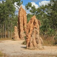
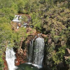
Fog Bay and Finniss River Floodplains, Coastal floodplain system in Northern Territory, Australia.

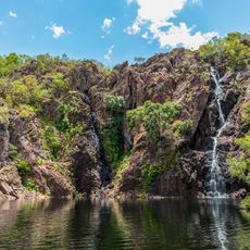
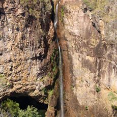
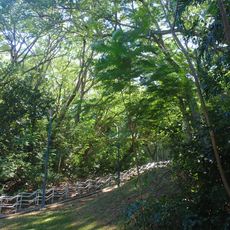
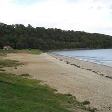
Fog Bay and the Finniss River Floodplains form a coastal system in the northwest where seasonal flooding shapes expansive paperbark swamps and sedge wetlands. Tidal movements and monsoon rains control the rhythm of water levels throughout the year.

This floodplain system has sustained communities for thousands of years through its seasonal cycles and abundance of resources. The landscape itself has been shaped by the same flood and tidal patterns that continue today.

Aboriginal communities have longstanding ties to this place through customary hunting and seasonal harvesting practices. These traditions continue to shape how people interact with the land and water today.

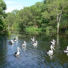
Visit between July and September to see thousands of migratory birds gathering on the mudflats, which offers the best viewing opportunities. Seasonal water levels and terrain can affect access, so check conditions before heading out.

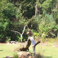
The mudflats host more than 35,000 wading birds during migration season, including populations that have traveled thousands of kilometers from breeding grounds. This location serves as a critical stopover point for birds making the long journey between Asia and Australia.

The community of curious travelers

AroundUs brings together thousands of curated places, local tips, and hidden gems, enriched daily by 60,000 contributors worldwide.

Start exploring
GPS coordinates
-12.95310,130.41500
Latest update
December 14, 2025 17:41
Reviews
Share your experience

No review yet

Discussions
Start a discussion...

No discussion yet

« Fog Bay and Finniss River Floodplains - Coastal floodplain system in Northern Territory, Australia » is provided by Around Us (aroundus.com). Images and texts are derived from Wikimedia project under a Creative Commons license. You are allowed to copy, distribute, and modify copies of this page, under the conditions set by the license, as long as this note is clearly visible.

Discover hidden gems everywhere you go!

From secret cafés to breathtaking viewpoints, skip the crowded tourist spots and find places that match your style. Our app makes it easy with voice search, smart filtering, route optimization, and insider tips from travelers worldwide. Download now for the complete mobile experience.

Around Us App Screenshot

A unique approach to discovering new places

Le Figaro

All the places worth exploring

France Info

A tailor-made excursion in just a few clicks

20 Minutes

Around Us
Travel Guide & Maps
Download

Send to your phone

QR Code
1

Open the camera app on your mobile.

2

Point at the QR code with your camera. A notification will appear.

3

Tap the notification to open the link.